
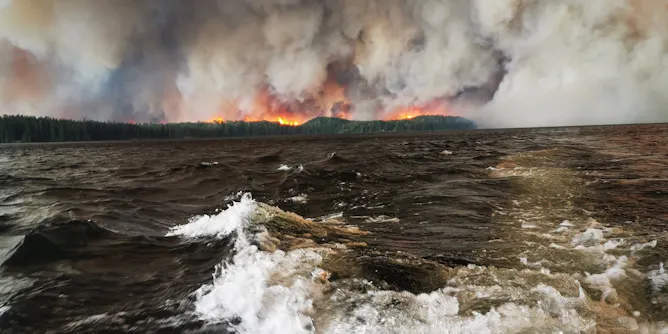
A speedy response to wildfires is essential when a fire is moving fast, but speed becomes a hollow metric when First Nations aren’t involved in managing the emergency.
Articles on Wildfires
Displaying 41 - 60 of 575 articles
Deadly fires in Almería, Spain, have shown that firefighting alone is not enough – people need to be properly prepared.
When you breathe in wildfire smoke, harmful particles can travel deep into your body.
Carefully designed alert systems, evacuation, and a prepared population can save lives.

As climate-related hazards become more frequent and severe, protecting our health will require moving beyond warnings toward prevention.
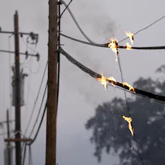
Utilities face a dilemma: How to deliver power through dry, windy regions without accidentally starting a catastrophic fire.

Every year, the number of human-caused fires spikes on July 4, and many of them are related to fireworks. When trees and grasses are dry and the temperature high, the risk rises even more.
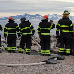
It’s the new reality in an Arctic where the climate is changing fast.
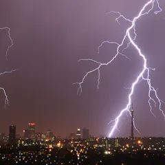
Citizens don’t just respond to disasters. They also respond to how governments manage them.
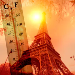
As people across Europe are having to acclimatise to an unprecedented heatwave, coordinated responses for tackling extreme heat need to come from the top, and there’s no time to lose.
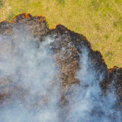
Studying the scale and intensity of previous fires can help us to detect thermal hotspots earlier and support faster, smarter crisis response and post-fire restoration.
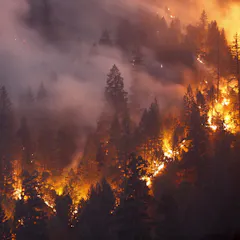
Heat waves do more than dry out vegetation that can easily burn. They also play a role in lightning strikes, particularly dry lightning.
While some progress has been made since these goals were established in 2017, it is uneven. Only seven of the 26 targets have been broadly met.
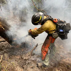
The risk to firefighters isn’t just from breathing wildfire smoke – it’s also in the chemicals that get on their clothes and filter through to their skin.
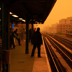
The number of ozone-related premature deaths due to wildfires is also rising.
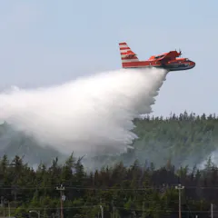
Canada’s wildfire aviation system remains decentralized. That model worked when fire seasons were staggered geographically. Increasingly, they are not.
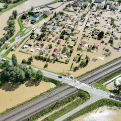
From California to France and the UK, traditional private markets are buckling under the weight of climate claims.
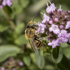
Sperm activity in bees dropped after being exposed to heatwave conditions.

By 2100, 100 million Americans could breathe unhealthy air in the summer, seven times more than in 2000.
Changes in ways of farming are part of the reason why wildfires are more likely this summer, even in traditionally colder climates.
Top contributors
-

Professor of Pyrogeography and Fire Science, University of Tasmania
-
Associate Professor of Civil Engineering, Boise State University; United Nations University
-
Professor of Civil, Environmental and Ecological Engineering, Purdue University
-
Professor of Geography and Director of the Centre for Wildfire Research, Swansea University
-
Professor of Engineering, University of California, Merced
-
Assistant Professor of Environmental and Radiological Health Sciences, Colorado State University
-
Fellow, Queen's Institute for Energy and Environmental Policy, School of Policy Studies, Queen's University, Ontario
-
Tenured Scientist (IMB-CSIC, Spain) & Honorary Associate Prof. (SU, UK), Swansea University
-
Wildfire Specialist, University of California Cooperative Extension; Adjunct Professor at the Bren School, University of California at Santa Barbara, University of California, Santa Barbara
-
Emeritus Professor of Life Sciences, Arizona State University
-
Professor of Geology and Environmental Geosciences, University of Dayton
-
Professor, Disaster & Emergency Management, Faculty of Liberal Arts & Professional Studies & Director, CIFAL York, York University, Canada
-
Professor of Fire Ecology, University of Montana
-
Research Fellow in Environmental Science, University of Tasmania
-
Reader in Cultural Geography and Communication, University of Westminster