
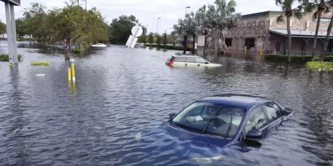
With Hurricanes Helene and Milton reminding us of the destructive force of such storms, the tropical cyclone forecast for Australia is for an average number but with a higher risk of severe cyclones.
Articles on La Nina
Displaying 21 - 40 of 130 articles
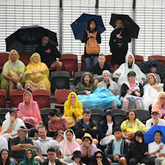
Signs of this potential La Niña are emerging fairly late. But new research may help make predictions earlier.
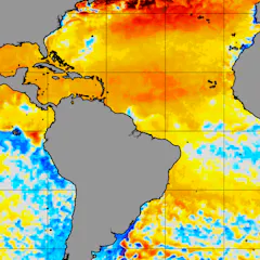
It’s rare to see both Nina’s at the same time, but both appeared to be developing in 2024. That could help soften hurricane season, but don’t bet on it.
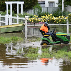
Fluctuations in the path of storms over the Australian continent can influence the conditions delivered by an El Niño or La Niña.

Contrary to popular belief, new research shows the abrupt, often gale force wind changes known as “southerly busters” are becoming more frequent, but less severe, as the climate changes.
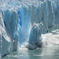
Water is very heavy – and it can move. Until now, changes to water on land have actually offset much of the rising sea level from ice melt. How? Gravity
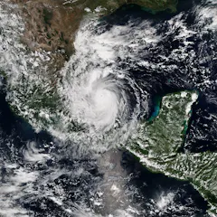
NOAA issued its busiest preseason hurricane forecast yet, with the second highest accumulated cyclone energy. An atmospheric scientist explains what’s behind the numbers.

Option price swings show how much traders believe seasonal climate and weather matters for all sorts of industries, not just the ones you might expect.
After a year of record-breaking global heat with El Niño, will La Niña bring a reprieve? That depends on where you live and how you feel about hurricanes.
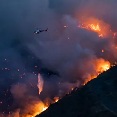
The recent Port Hills fires highlight the increasing wildfire risks caused by climate change. Reducing the threat is going to take a shift in strategy, investment and community engagement.
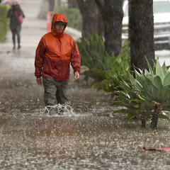
The strong El Niño that started in 2023 will still have big impacts at least through March. Here’s what to watch for next.

With smartphones as commonplace as towels and sunscreen in the beach bag, why not add coastal data collection to your list of holiday activities this summer? Look for the CoastSnap camera cradles.

As Australia heads into summer with an El Niño, it’s important understand and prepare for the health risks associated with extreme weather.
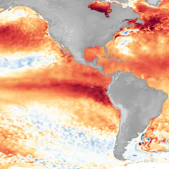
An atmospheric scientist explains how El Niño works, this year’s oddities and why this phenomenon doesn’t last long.

The preliminary global-average temperature anomaly for September is a shocking 1.7°C. These are the drivers of current record-breaking heat.
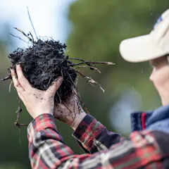
A group of agricultural and soil scientists has serious concerns about the way credits are awarded for soil carbon sequestration in Australia.
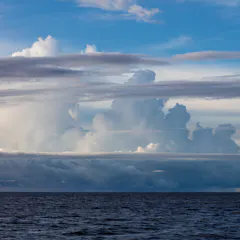
It’s not just ocean temperatures that determine whether we have El Niño or La Niña. Air circulation also plays a role, and it’s changing in unexpected ways.
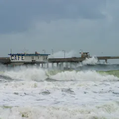
An El Niño weather-warming phase is underway in the Pacific – but what does this mean for the weather in Europe?
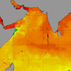
Drought in Europe, dwindling Arctic sea ice, a slow start to the Indian monsoon – unusually hot ocean temperatures can disrupt climate patterns around the world, as an ocean scientist explains.

2016 was the world’s warmest year on record, due in part to a very strong El Niño event. But 2023 (and 2024) could beat that record – what should we expect?
Top contributors
-

ARC Future Fellow and Associate Professor in Climate Science, ARC Centre of Excellence for 21st Century Weather, The University of Melbourne
-
Adjunct Professor (Practice) in the School of Earth, Atmosphere and Environment, Monash University
-
Distinguished Scholar, National Center for Atmospheric Research; Affiliate Faculty, University of Auckland, Waipapa Taumata Rau
-
Senior Climatologist, Australian Bureau of Meteorology
-
Climate Scientist, Australian Bureau of Meteorology
-
Climate scientist, Australian Bureau of Meteorology
-
Principal Research Scientist, CSIRO
-
Adjunct Professor in Climate Science, Monash University
-
Professor, Water and Landscape Dynamics, Fenner School of Environment & Society, Australian National University
-
Senior Research Associate, UNSW
-
Lecturer, School of Agriculture, Food and Ecosystem Sciences, The University of Melbourne
-
Climate Scientist, Australian Bureau of Meteorology
-
Adjunct Professor of Environmental Geography, CQUniversity Australia
-
Chief Research Scientist, Oceans and Atmosphere, CSIRO, CSIRO
-
Honorary Associate Professor of Climate Science, The University of Melbourne