
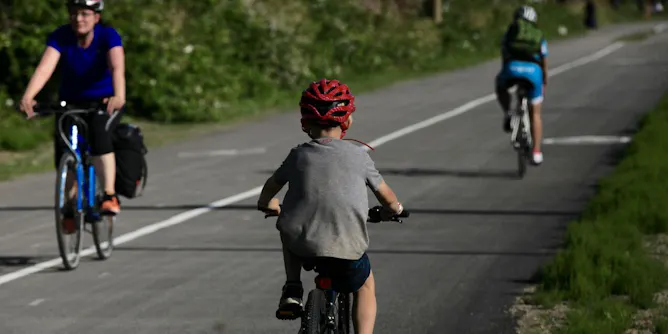
Cycling in Canada has been experiencing a great boom in recent years. Yet, there was no consistent and complete way to measure cycling infrastructure, until now.
Articles on Maps
Displaying 41 - 60 of 99 articles
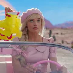
Maps can be very touchy subjects. That’s why Vietnam has banned the Barbie movie.
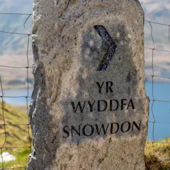
Welsh place names often reflect local legends, fauna and topography. The coining of English names to replace them has sparked an ongoing campaign to protect them.
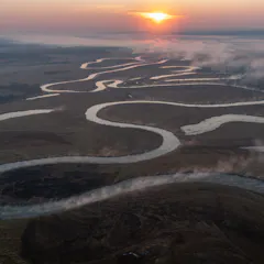
The Angolan Highlands are hydrologically and ecologically important - and the region’s newly mapped peatlands are valuable “carbon sinks”.
Under COVID travel restrictions, I couldn’t travel to Pitta Pitta Country. Instead, I travelled to Country through Google Maps.

The new discovery echoes a mission in 1931, when a five-day zeppelin flight sent robots to the stratosphere and redrew the maps of the high Arctic.
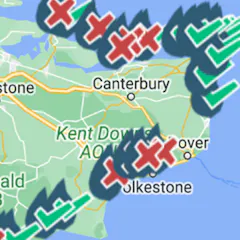
These maps have gone viral – here’s what they owe to 19th century cholera campaigns.
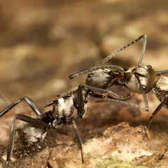
A new map of more than 14,000 ant species around the world will guide efforts for discovery and conservation.
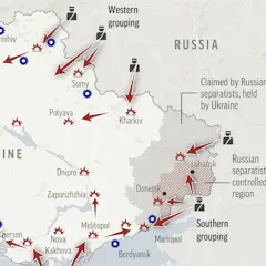
Geographers often talk about the ‘silences’ of maps – what’s missing and unseen. Those silences can be as meaningful as what’s shown.
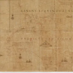
The Tasman map, dating from the 1600s, was promised to the Commonwealth – but NSW got it instead. Here’s how it happened.
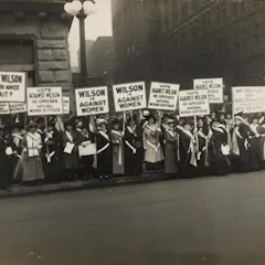
Women’s rights activists used maps to highlight which regions hadn’t given women the vote: we can use the same tactics to push climate action.
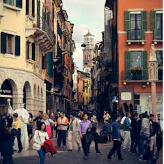
As you’re walking through city streets on your way to work, school or appointments, you probably feel like you’re taking the most efficient route. Thanks to evolution, you’re probably not.
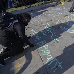
A sociologist asked public high school teachers to draw maps of the neighborhood where they teach. Those with more detailed maps also made stronger cultural connections with their students.
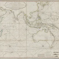
In many cases, colonial maps would portray conquered land as having been ‘empty’ and available when settlers arrived — even if it wasn’t.
A greater understanding of interconnectedness created by river maps could influence people to become more engaged with conserving river systems.

Boundaries aren’t just treaties. They’ve been built from rivers, oral history and newspaper notices — and rocks in the way of farmers.

We now have a glimpse into where early Indigenous Australians likely travelled all those tens of thousands of years ago.
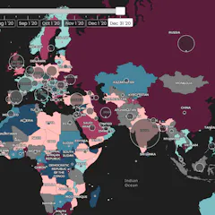
Last year, 189 countries – home to roughly 65% of the global population – cut themselves off from the world at some point. Borders are now reopening and travel resuming, but normal is a ways off.
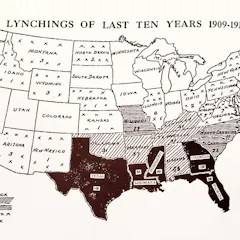
Mapping is one way African Americans fight for equality and help each other navigate a racially hostile landscape.

Born on July 30, 1920, geologist and cartographer Tharp changed scientific thinking about what lay at the bottom of the ocean – not a featureless flat, but rugged and varied terrain.
Top contributors
-

Professor of Geographic Information and Cartography, Department of Geography, UCL
-
Derek H. Alderman is a Friend of The Conversation.
Chancellor's Professor of Geography, University of Tennessee
-
Lecturer in Humanities, University of Tasmania
-
Lecturer in Digital Culture and Technology, King's College London
-
Assistant Professor Department of Geography & Sustainability, University of Tennessee
-
Reader in Cultural Geography and Communication, University of Westminster
-
Associate Professor at the ARUA Water Centre of Excellence Academic Manager, Institute for Water Research, Rhodes University
-
Professor in Urban Studies and Planning, University of Sheffield
-
Professor Emeritus of Ecosystem Science and Sustainability, Colorado State University
-
Associate Professor of Geography, University of Wisconsin-Stout Polytechnic
-
Lecturer in GIS, University of Southampton
-
Ecologist, Charles Darwin University
-
Co-founder, Wonder Labs, University of Wollongong
-
Professor of Conservation and Sustainable Livelihoods, Charles Darwin University
-
Scientific Advisor, Hungarian Academy of Sciences, Budapest