
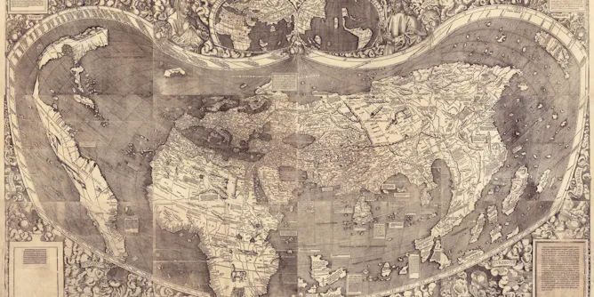
The International Geography festival puts Saint-Dié on the map, but its map-making history dates back to the early 16th century, when the French town in the Vosges was a hotspot for scholarly geographical research.
Articles on Maps
Displaying 1 - 20 of 99 articles
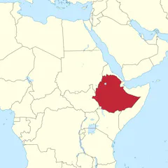
Political groups use social media ‘maptivism’ to spread exaggerated regional maps to stake a claim to territory.
Rather than telling a single story, street names preserve several layers of public memory.
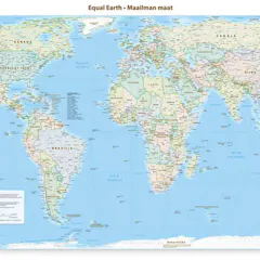
Correcting the mental map of global leaders is an important step in amplifying Africa’s relevance and rights.
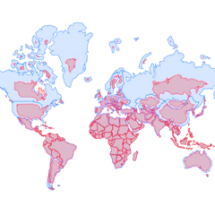
The resolution, submitted by a group of African states, corrects 450 years of cartographic injustice by recognizing the distortions produced by the Mercator projection.

When a political leader repeatedly tells us what he wants, albeit through absurdity, there is a point at which treating it as a joke becomes its own form of denial.
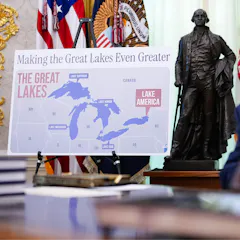
A geographer explains the politics and procedures behind renaming American places.

The abrupt disappearance of a lake is one clear sign that the ice below is melting, and a clue to wider permafrost changes.

Working with and living in spatially complex environments may help delay cognitive decline, though more research is needed.
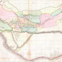
People have always put huge trust in the technology used to create maps, from the ancient Greek dioptra to modern satellites.
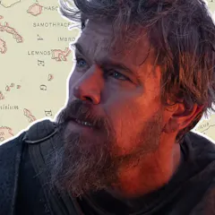
Attempts to transpose the locations of The Odyssey accurately to modern maps have proved difficult.

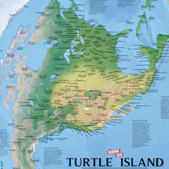
State lines are one way to picture the US, but natural history provides another – one that shows the ancient and living connections running across the landscape.
From who gets to vote to how people travel and where taxpayer dollars are funneled, politicians and urban planners wield maps to control public imagination.
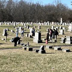
Cemeteries are a treasure trove of local history and family connection. Technology and ingenuity have made mapping them easier.
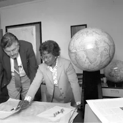
Women have moved from mapmakers using their bodies to depict maps to being leaders shaping the field of cartography.
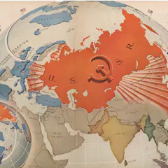
Donald Trump grew up in cold war America. Maps of the time had an overtly political purpose.
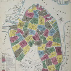
Hundreds of thousands of Sanborn maps mapped the fire risk of every US city with over 1,000 people in the 20th century.
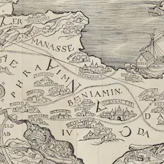
The map of the Holy Land in Christopher Froschauer’s 1525 Old Testament has the Mediterranean to the east of Palestine instead of to the west.

Maps have always both granted power and threatened it, depending on who controls the data, the scale and the narrative.

We’ve got this week’s cultural fix all lined up for you.
Top contributors
-

Professor of Geographic Information and Cartography, Department of Geography, UCL
-
Derek H. Alderman is a Friend of The Conversation.
Chancellor's Professor of Geography, University of Tennessee
-
Lecturer in Humanities, University of Tasmania
-
Lecturer in Digital Culture and Technology, King's College London
-
Assistant Professor Department of Geography & Sustainability, University of Tennessee
-
Reader in Cultural Geography and Communication, University of Westminster
-
Associate Professor at the ARUA Water Centre of Excellence Academic Manager, Institute for Water Research, Rhodes University
-
Professor in Urban Studies and Planning, University of Sheffield
-
Professor Emeritus of Ecosystem Science and Sustainability, Colorado State University
-
Associate Professor of Geography, University of Wisconsin-Stout Polytechnic
-
Lecturer in GIS, University of Southampton
-
Ecologist, Charles Darwin University
-
Co-founder, Wonder Labs, University of Wollongong
-
Professor of Conservation and Sustainable Livelihoods, Charles Darwin University
-
Scientific Advisor, Hungarian Academy of Sciences, Budapest