
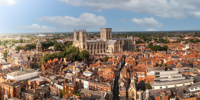
Researchers have transformed air quality data into maps, visualisations and exhibitions to connect people to the issues in tangible ways.
Articles on Mapping
Displaying 1 - 20 of 70 articles
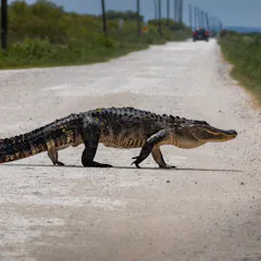
A new mapping tool allows local governments, conservation groups and landowners to understand how their land-use decisions affect wildlife and natural resources.
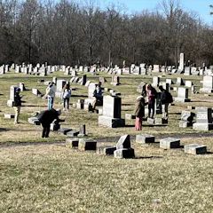
Cemeteries are a treasure trove of local history and family connection. Technology and ingenuity have made mapping them easier.

Aerial lidar raises ethical questions because it can collect data remotely without the knowledge or consent of Indigenous and descendant populations that are on the ground.
This technology was developed in response to the stark disparity in how urban safety is experienced by women and men.

As many as 10% of enslaved people on St. Croix escaped. Where they went has remained a mystery, but scientists are using new mapping technology to find answers.
FEMA flood maps are essential tools for identifying flood risks, but they have significant coverage gaps, and politics can get in the way.
Researchers worked with Indigenous Rangers to map life in 34 estuaries across NSW using environmental DNA - and made a host of unexpected discoveries.

Have you heard of the 3+30+300 rule for urban forestry? See how Melbourne and Sydney compare to New York, Denver, Seattle, Buenos Aires, Amsterdam and Singapore on trees, canopy and park proximity.
Gov. Tim Walz used geographic information systems as a schoolteacher. How will that experience come into play if he and Kamala Harris win the White House in November?

What harm can a road do? Plenty. Once built, illegal roads let loggers, miners, poachers and landgrabbers into the jungle, and the felling begins.

Our new maps show coral reefs are more extensive than we thought.
A new study reveals that 75% of the world’s industrial fishing vessels are hidden from public view.

The idea we know more about the Moon than the deep sea is seductive – but it’s 70 years out of date.
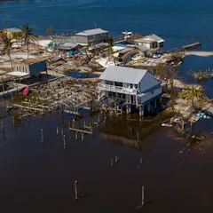
Artificial intelligence can spot differences in images from before and after a storm over wide areas in almost real time. It showed Hurricane Ian’s vast damage in Florida.
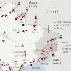
Geographers often talk about the ‘silences’ of maps – what’s missing and unseen. Those silences can be as meaningful as what’s shown.

Glaciers in North America, Europe and the Andes, in particular, have significantly less ice than people realized.

A new study highlights disparities and proposes research priorities for advancing the use of small aerial drones in disaster management.
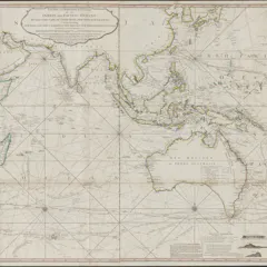
In many cases, colonial maps would portray conquered land as having been ‘empty’ and available when settlers arrived — even if it wasn’t.
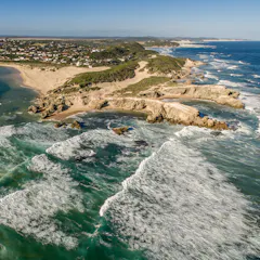
A greater understanding of interconnectedness created by river maps could influence people to become more engaged with conserving river systems.
Top contributors
-

Assistant Professor of Natural Resources and the Environment, University of Connecticut
-
Visiting Scholar, Department of Architecture, University of Cambridge
-
Distinguished Research Professor and Australian Laureate, James Cook University
-
Assistant Professor of Computational Social Science, George Mason University
-
Professor in Robotics, Queensland University of Technology
-
Associate Professor of International Affairs, Georgia Institute of Technology
-
Director, XYX Lab, and Professor, Faculty of Art, Design and Architecture, Monash University
-
Professor, Graduate School of Business and Law, RMIT University
-
Professor of Spatial Information, The University of Melbourne
-
Senior Lecturer in Graphic Design, York St John University
-
Professor of Architecture and Urban Design, The University of Melbourne
-
Research Scientist, CSIRO
-
Distinguished Professor of Public Communication, University of Technology Sydney
-
Lecturer , Technical University of Kenya
-
Associate Professor of Geography and GeoInformation Science, George Mason University