
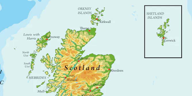
A new law means the Shetland Isles must now be placed in their true location – but mapping experts aren’t entirely convinced.
Articles on Maps
Displaying 81 - 99 of 99 articles
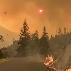
Communities that are majority black, Hispanic or Native American are over 50 percent more vulnerable to wildfire compared to other communities.
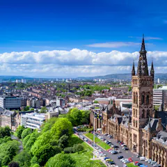
An algorithm based on commuting patterns makes new ‘Greater Glasgow’ the biggest local authority in the UK.
Today, many Australian urbanites see rivers as little more than picturesque places for a paddle. But in the colonial era, rivers served as highways, drinking sources, sewers, and routes to discovery.
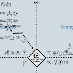
From resettling Syrian refugees to mitigating climate change in Ecuador, interactive ‘story maps’ harvest communities’ stories to help policymakers and neighbors better understand complex problems.
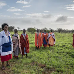
A new map shows that more than 25% of all land outside Antarctica is held and managed by Indigenous peoples. This makes these communities vital allies in the global conservation effort.
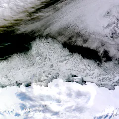
Geospatial data offers a powerful new way to see the world. But these high-tech images can be misleading or incomplete.

Maps can be an invaluable tool in a natural disaster or humanitarian crisis. A pilot project trained Syrian refugees at a Jordan camp to create their own.
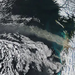
There are more satellites than ever before, orbiting Earth and collecting data that’s crucial for scientists. Why do some nations choose not to share that data openly?

By expanding our understanding of streets and enhancing their design, every street corner could become a space to socialise, to exercise, to play, or to trade.
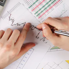
Economists try to create and use maps to navigate the world of human choices. But in some ways, these maps are limited.

Growing numbers of people are using food banks to feed themselves and their families. But many areas where residents face a high risk of food poverty are under-serviced.

How do diverse movies fare in the international box office? What time do trolls like to post their comments? We look back on some of this year’s most intriguing graphs and maps.
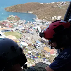
With this technology, citizen scientists could even help to predict the damage caused by future disasters.
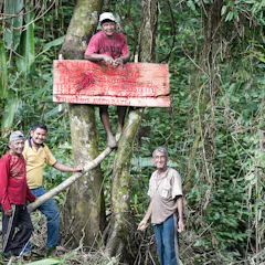
They are contesting the maps that deny them territorial rights.

Who has the biggest map – and what are they plotting on it?
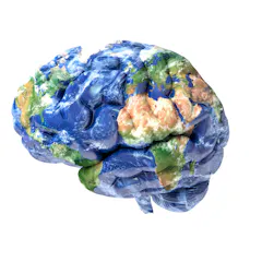
Areas of the brain are being mapped, much like the towns, cities and countries represented in a typical atlas.
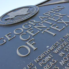
Quirky tourists, heads up! The old way to calculate geographical centers of U.S. states is out of date. To set course for a state’s true center, read up on the azimuthal equidistant projection.
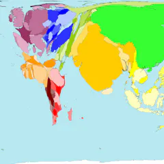
Nothing is where you think it is.
Top contributors
-

Professor of Geographic Information and Cartography, Department of Geography, UCL
-
Derek H. Alderman is a Friend of The Conversation.
Chancellor's Professor of Geography, University of Tennessee
-
Lecturer in Humanities, University of Tasmania
-
Lecturer in Digital Culture and Technology, King's College London
-
Assistant Professor Department of Geography & Sustainability, University of Tennessee
-
Reader in Cultural Geography and Communication, University of Westminster
-
Associate Professor at the ARUA Water Centre of Excellence Academic Manager, Institute for Water Research, Rhodes University
-
Professor in Urban Studies and Planning, University of Sheffield
-
Professor Emeritus of Ecosystem Science and Sustainability, Colorado State University
-
Associate Professor of Geography, University of Wisconsin-Stout Polytechnic
-
Lecturer in GIS, University of Southampton
-
Ecologist, Charles Darwin University
-
Co-founder, Wonder Labs, University of Wollongong
-
Professor of Conservation and Sustainable Livelihoods, Charles Darwin University
-
Scientific Advisor, Hungarian Academy of Sciences, Budapest