
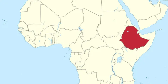
Political groups use social media ‘maptivism’ to spread exaggerated regional maps to stake a claim to territory.
Articles on Cartography
Displaying 1 - 20 of 38 articles
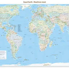
Correcting the mental map of global leaders is an important step in amplifying Africa’s relevance and rights.
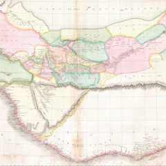
People have always put huge trust in the technology used to create maps, from the ancient Greek dioptra to modern satellites.
Attempts to transpose the locations of The Odyssey accurately to modern maps have proved difficult.
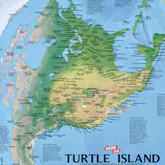
From who gets to vote to how people travel and where taxpayer dollars are funneled, politicians and urban planners wield maps to control public imagination.
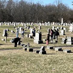
Cemeteries are a treasure trove of local history and family connection. Technology and ingenuity have made mapping them easier.
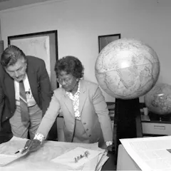
Women have moved from mapmakers using their bodies to depict maps to being leaders shaping the field of cartography.
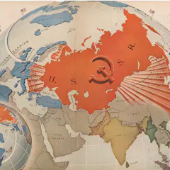
Donald Trump grew up in cold war America. Maps of the time had an overtly political purpose.
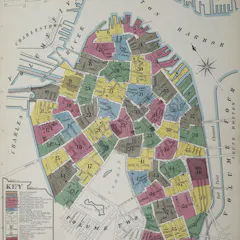
Hundreds of thousands of Sanborn maps mapped the fire risk of every US city with over 1,000 people in the 20th century.

Maps have always both granted power and threatened it, depending on who controls the data, the scale and the narrative.

This fascinating show offers visitors a deeper sense of Le Guin’s maps as world-making and storytelling devices.
Maps help shape how we make sense of the world.
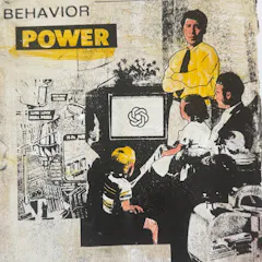
AI models are not politically neutral nor free from bias. In fact, it may not even be possible for them to be unbiased.
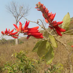
A new publication sheds light on the plants of Burkina Faso and Mali.
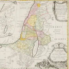
How maps’ names and border territories − and what they omit - can project different political objectives.
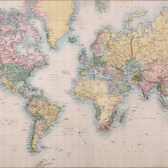
Cartography has become one of the most successful technologies for understanding the world around us. But like the world itself, maps and map-making are constantly evolving.
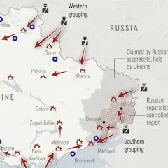
Geographers often talk about the ‘silences’ of maps – what’s missing and unseen. Those silences can be as meaningful as what’s shown.
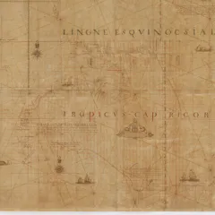
The Tasman map, dating from the 1600s, was promised to the Commonwealth – but NSW got it instead. Here’s how it happened.
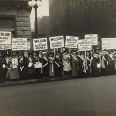
Women’s rights activists used maps to highlight which regions hadn’t given women the vote: we can use the same tactics to push climate action.
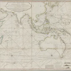
In many cases, colonial maps would portray conquered land as having been ‘empty’ and available when settlers arrived — even if it wasn’t.
Top contributors
-

Professor of Geographic Information and Cartography, Department of Geography, UCL
-
Lecturer in Digital Culture and Technology, King's College London
-
Derek H. Alderman is a Friend of The Conversation.
Chancellor's Professor of Geography, University of Tennessee
-
Assistant Professor Department of Geography & Sustainability, University of Tennessee
-
Lecturer in Humanities, University of Tasmania
-
Lecturer in Cognitive Neuroscience, City St George's, University of London
-
Professor and Chair, Dept. of Geography and GeoInformation Science, George Mason University
-
Senior Lecturer in Classics, Adelaide University
-
Lecturer in Political Ecology, Lancaster University
-
Senior Lecturer in Human Geography, University of Birmingham
-
Senior Researcher, Oxford Martin School, University of Oxford
-
Professor of Planetary Geosciences, The Open University
-
Professor in Geography, Concordia University
-
Postdoc researcher, Manchester Metropolitan University
-
Professor of Economic Geography, University of Portsmouth