
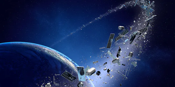
Satellites monitor climate change, guide people with GPS and keep us connected through texts and social media, but they’re under threat.
Articles on Satellites
Displaying 201 - 220 of 301 articles
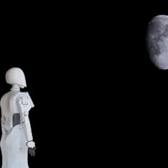
The future of lunar exploration and space travel will be possible only through advances in robotic design and implementation.
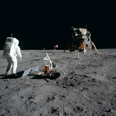
The technologies behind weather forecasting, GPS and even smartphones can trace their origins to the race to the Moon.
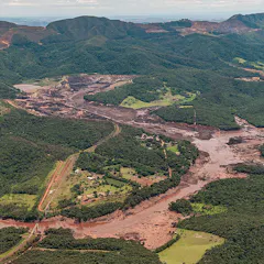
Population growth is creating a huge demand for infrastructure, even as environmental risks grow. To detect problems early, satellites can provide rich data to help assess infrastructure “health”.
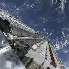
The first 60 satellites from Elon Musk’s planned low orbit internet network have lit up the skies. But with more planned, astronomers say the satellites could ruin their work.

India, China, the United States and Russia can now precisely target objects in space. But we currently lack appropriate rules and regulations to deal with space weapons.
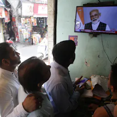
On 27 March, India announced it had successfully conducted an anti-satellite missile test, Mission Shakti. India is now the fourth country in the world displaying this capability.
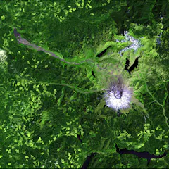
Since 2008, Landsat data has been free for the world to use, spurring new applications and scientific research. But that door could soon slam shut.
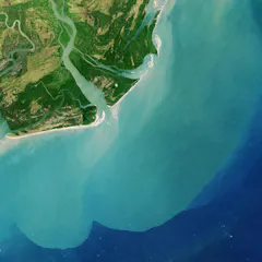
Satellites hundreds of miles overheard are helping scientists to predict drought, track floods and see how climate change is changing access to water resources.
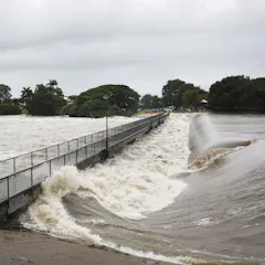
The flood zone around Townsville extends for hundreds of kilometres, making monitoring difficult even from the air. But scientists are testing a new satellite method that can peer through the clouds.
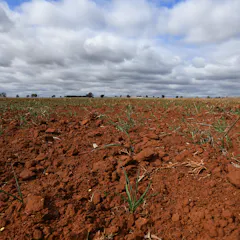
New satellite-based research shows there is at least as much value in knowing how much water is left for plants to use as there is in knowing how much rain may be on the way.
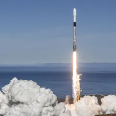
If the Australian space industry is to grow and create thousands of jobs then we need new policy around satellites to meet the challenges involved.
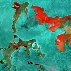
The Open Air project features satellite data interpreted and coloured to produce beautiful, surreal images of Australian landforms.
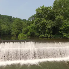
When a dam comes down this fall, a team of scientists will be there to track the environmental changes.
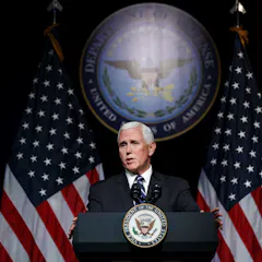
Could Canadian technology play a part in the newly announced U.S. Space Force? A team at McMaster University has developed an instrument that could keep Space Force troops safe from radiation.
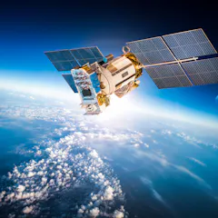
High altitude images of Earth’s surface can illustrate events occurring on a grand scale to the public.
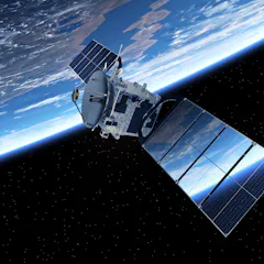
Iridium’s latest launch brings its next-generation satellite network close to completion. But will it be put to the sword by a whole set of smaller rivals?
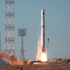
Let’s launch Australian satellites on Australian rockets from Australian sites, and operate them from Australian facilities.
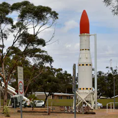
We’ve launched rockets from Woomera in South Australia, but in reality Australia could support multiple launch sites. And the closer to the equator, typically the better.
Illegal dumping is costing governments millions – but satellite technology could help put a stop to it.
Top contributors
-

Associate Professor, Astronomy, University of Regina
-
Professor, Physics and Astronomy, University of British Columbia
-
Andrew Dempster is a Friend of The Conversation.
Director, Australian Centre for Space Engineering Research; Professor, School of Electrical Engineering and Telecommunications, UNSW
-
Associate Professor in Archaeology and Space Studies, Flinders University
-
Associate Professor in Astronomy, Monash University
-
Associate Professor of International Affairs, Georgia Institute of Technology
-
Lecturer in space and military law and strategy, UNSW
-
Chief Executive Officer, Australasian Centre for Space Governance; Associate Expert, National Security College, Australian National University
-
Emeritus Professor of International Law, Western Sydney University
-
Adjunct Senior Research Fellow in Environmental Law, University College Dublin
-
Associate Professor, RMIT University
-
Space Plasma Physicist, Imperial College London
-
University Distinguished Professor of Astronomy, University of Arizona
-
Scientific Officer, Obafemi Awolowo University
-
Director, Bushfire Research Centre of Excellence, Australian National University