
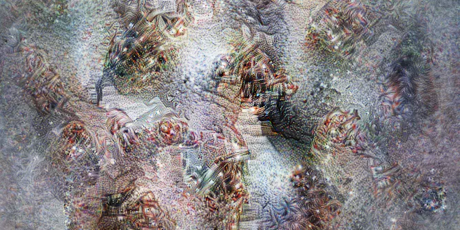
Researchers fed an advanced AI algorithm with satellite photographs to see if it could identify areas of poverty and it interpreted the data through abstract images.
Articles on Satellite imaging
Displaying 21 - 40 of 57 articles

Satellite data shows wildfires are destroying large areas of timber-producing forests around the world. These fires are becoming more destructive with each passing year.
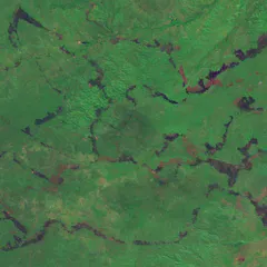
Satellite data and traditional know-how combined have drastically reduced fires across northern Australia over the past 20 years.
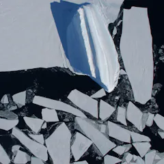
The rhythmic expansion and contraction of Antarctic sea ice is like a heartbeat. But there’s been a skip in the beat. Deeply concerned scientists have released a diagnosis for policy-makers.
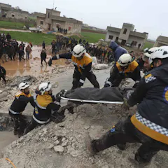
Using space imagery can help guide relief efforts to critical areas during a natural disaster.
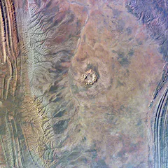
Meteor impacts are an inevitable part of being a rocky planet in space. The craters they leave behind are a window into the tumultuous history of Earth.
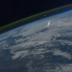
From space to the outback, meteorite-tracking tools are building the knowledge we need to prepare for a future asteroid impact.
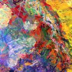
The United States Geological Survey has a vast collection of satellite images capturing breathtaking geological features of our planet. As a geologist, I’ve picked eight of the most fascinating.
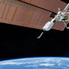
Private satellite companies have boomed in recent years, and many experts have wondered what role they would play in a conflict. They have proved to be invaluable to Ukraine in recent months.
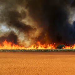
Fires in arid Australia are extensive, largely unmanaged, often destructive and significantly under-reported.
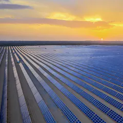
Our data provides a common benchmark unbiased by reporting from companies or governments.

Scientists are building a pollen forecasting model using meteorology, botany, pollen count numbers and satellite imagery to help people plan ahead.

Advanced techniques allowed our research team to build an open database of billions of individual trees and challenge some common perceptions about vegetation in arid and semi-arid zones.
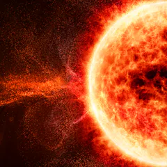
Satellites, space stations and astronauts, aviation, GPS, power grids and more can be affected.
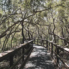
We used satellite images to study the life cycles of mangrove forests in the Northern Territory, Queensland, and New South Wales — and found a surprising degree of variation.

The dingo fence is the longest fence in the world. The environment looks almost identical on either side — until you view it from space.
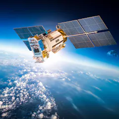
Satellites impact our lives in many different ways, and some of these may surprise you.
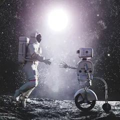
Artificial intelligence can help us venture further in space.
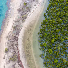
Despite their enormous value, mangroves are being removed at an alarming rate. A new tool aims to help communities reverse mangrove loss and tap into conservation programs and funding.
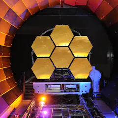
India may land on the Moon this coming year, while Nasa will launch its new, powerful rocket farther into space than any other human rated spacecraft.
Top contributors
-

Senior research fellow, Charles Darwin University
-
Research Fellow in Environmental Science, University of Tasmania
-
Visiting Scholar, Department of Architecture, University of Cambridge
-
Spatial ecologist, The Norwegian Institute for Nature Research
-
Co-Director, United Nations- SPIDER- UK Regional Support Office, Senior Research Fellow, School of Engineering, Preston, UK, University of Lancashire
-
Distinguished Professor of Ecology, Fenner School of Environment and Society, Australian National University
-
Professor, University of Cambridge
-
Professor Emeritus of Ecosystem Science and Sustainability, Colorado State University
-
Postdoctoral Researcher, Center for Health and the Global Environment, Environmental and Occupational Health Sciences, University of Washington
-
Professor of Marine Geospatial Ecology, Duke University
-
Senior research fellow, The University of Queensland
-
Research Professor, Adelaide University
-
Adjunct Research Fellow, James Cook University
-
Researcher, Agricultural Research Council
-
Postdoctoral Research Associate, University of Cambridge