
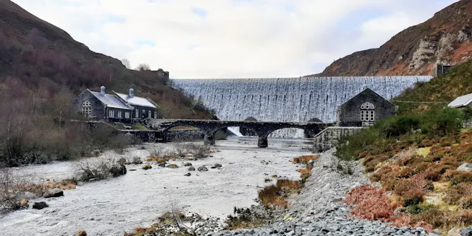
New research published in the journal Nature reveals that more than 1.2 million flow barriers exist on European rivers and that approximately 10% are obsolete.
Articles on Satellite imaging
Displaying 41 - 57 of 57 articles
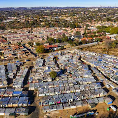
In South African cities there’s an uneven distribution of trees, greenery and parks across racial and income geographies.
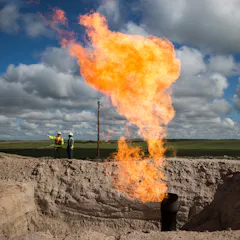
Flaring, or burning, waste gas from energy production has sharply increased over the past decade. It wastes usable fuel, pollutes the air, and helps drive climate change.
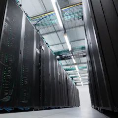
Supercomputers in Canberra and Perth power the analysis and modelling that decision-makers rely on in national crises.

The data shows a big improvement of pollution levels over some cities – but in others, pollution has, perhaps surprisingly, increased.
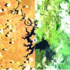
It’s important to remember that most of this greening is due to growth of grasses, which respond more rapidly after rain.
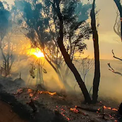
A scientist whose Kangaroo Island home was threatened by the summer’s bushfires says there is a ‘knowledge gap’ between satellite data and useful maps that can protect communities.
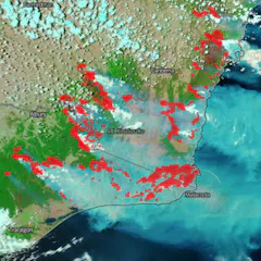
By understanding how bushfire maps are created, and what their features represent, you can get better at spotting fake ones.
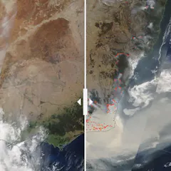
We pulled four before-and-after NASA satellite images and asked bushfire researcher Grant Williamson to reflect on the story they tell.
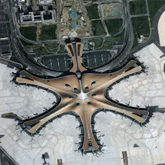
China has embraced the concept of Digital Earth – the use of data from satellites to create a visual map of what’s happening at every point on the planet – and is now a key player in making it happen.
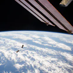
Free space optical communication will allow the same connectivity in space we already have on Earth. And this will provide benefits across a number of sectors.

Hundreds of millions more people will now be at risk from rising seas in the coming decades - with Asia and island nations most vulnerable. How we react to the climate crisis is now even more crucial.
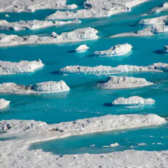
These lakes could threaten the future stability of parts of the Antarctic ice sheet.
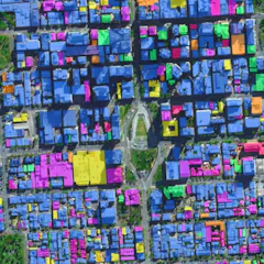
The huge volume and high quality of data streaming down from Earth observation satellites are transforming how we see and shape our cities.
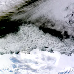
Geospatial data offers a powerful new way to see the world. But these high-tech images can be misleading or incomplete.

$41M over four years is about the minimum viable amount to start towards important goals for an Australian space agency.
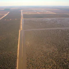
Allegations of water theft have thrown the Murray-Darling Basin Plan into crisis. The solution could involve users declaring their annual water use, subject to random audits - like a tax return.
Top contributors
-

Senior research fellow, Charles Darwin University
-
Research Fellow in Environmental Science, University of Tasmania
-
Visiting Scholar, Department of Architecture, University of Cambridge
-
Spatial ecologist, The Norwegian Institute for Nature Research
-
Co-Director, United Nations- SPIDER- UK Regional Support Office, Senior Research Fellow, School of Engineering, Preston, UK, University of Lancashire
-
Distinguished Professor of Ecology, Fenner School of Environment and Society, Australian National University
-
Professor, University of Cambridge
-
Professor Emeritus of Ecosystem Science and Sustainability, Colorado State University
-
Postdoctoral Researcher, Center for Health and the Global Environment, Environmental and Occupational Health Sciences, University of Washington
-
Professor of Marine Geospatial Ecology, Duke University
-
Senior research fellow, The University of Queensland
-
Research Professor, Adelaide University
-
Adjunct Research Fellow, James Cook University
-
Researcher, Agricultural Research Council
-
Postdoctoral Research Associate, University of Cambridge