
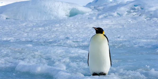
A breakthrough has helped researchers track down penguins living in the dark.
Articles on Satellite imaging
Displaying 1 - 20 of 57 articles
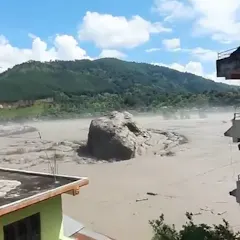
How the deadly Nepal floods caused damage up to 100km away from a collapsed glacier.
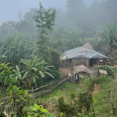
Ethiopia’s protected areas conserve almost 10% of the country, but new research has found that people living near nature reserves may be more likely to go hungry.
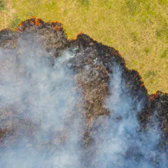
Studying the scale and intensity of previous fires can help us to detect thermal hotspots earlier and support faster, smarter crisis response and post-fire restoration.
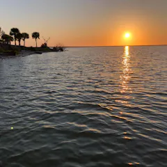
After years of collapse, seagrass in Florida’s Mosquito Lagoon rebounded unexpectedly following 2022 hurricanes, offering new insight into ecosystem resilience.

The expansion of technologies has increased the documentation of violence. But it doesn’t always lead to justice since courts often exclude information gathered by families and communities.
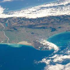
Satellite remote sensing allows rapid, detailed disaster response and planning. But the rules governing who controls and has access to the data aren’t keeping up.

Africa’s Great Green Wall of 6,000km of trees was launched 18 years ago, promising to halt desertification. But in Senegal, it’s been very slow to progress.

Seasonality sets the rhythms of life – and can have surprising consequences for ecology and evolution
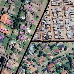
Solar energy adoption is booming in South Africa, but it’s mostly benefiting wealthier, white communities.
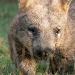
Native wombats and invasive rabbits are important to Australian ecosystems, but how do you work out where they live? That’s where satellite photos come in.
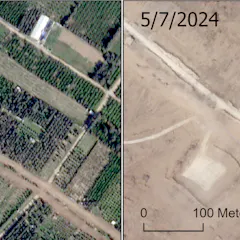
Most of Gaza’s olive trees, citrus trees and greenhouses have been destroyed.
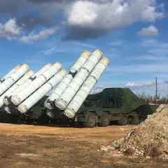
Public data can reveal military secrets – posing problems for the world’s armies.

Why build pyramids in the desert? A centuries-old puzzle may be answered by the slow wandering of the Nile.

Scientists have monitored mangroves in Mauritius, and found some forests are growing.
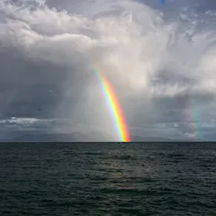
A lack of human activity in the Southern Ocean is just one reason why the air is so clean. Clouds and rain play a vital role in scrubbing the atmosphere, removing natural airborne particles too.
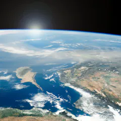
New research reveals our understanding of dust’s role in the environment is far from settled.

Satellite images and community perceptions combine to give a fuller picture of land use changes.

With smartphones as commonplace as towels and sunscreen in the beach bag, why not add coastal data collection to your list of holiday activities this summer? Look for the CoastSnap camera cradles.
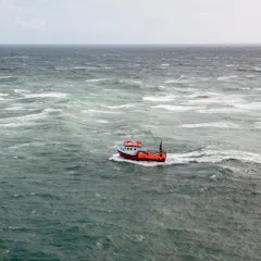
A new study reveals that 75% of the world’s industrial fishing vessels are hidden from public view.
Top contributors
-

Senior research fellow, Charles Darwin University
-
Research Fellow in Environmental Science, University of Tasmania
-
Visiting Scholar, Department of Architecture, University of Cambridge
-
Spatial ecologist, The Norwegian Institute for Nature Research
-
Co-Director, United Nations- SPIDER- UK Regional Support Office, Senior Research Fellow, School of Engineering, Preston, UK, University of Lancashire
-
Distinguished Professor of Ecology, Fenner School of Environment and Society, Australian National University
-
Professor, University of Cambridge
-
Professor Emeritus of Ecosystem Science and Sustainability, Colorado State University
-
Postdoctoral Researcher, Center for Health and the Global Environment, Environmental and Occupational Health Sciences, University of Washington
-
Professor of Marine Geospatial Ecology, Duke University
-
Senior research fellow, The University of Queensland
-
Research Professor, Adelaide University
-
Adjunct Research Fellow, James Cook University
-
Researcher, Agricultural Research Council
-
Postdoctoral Research Associate, University of Cambridge