
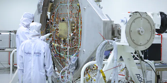
Europe’s leading aerospace industry players have no choice but to work hand in hand to further its space missions and develop critical infrastructure for security and climate protection.
Articles on Satellite data
Displaying 1 - 20 of 32 articles
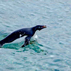
When penguin colonies are surrounded by sea ice, the penguins tend to eat more fish, rather than krill. And colonies that eat more fish are more successful at sustaining their numbers.
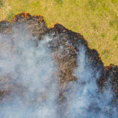
Studying the scale and intensity of previous fires can help us to detect thermal hotspots earlier and support faster, smarter crisis response and post-fire restoration.
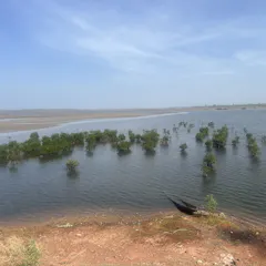
Nature-based solutions like mangrove restoration are key to climate action, but weak monitoring can overstate carbon storage, creating ‘ghost carbon’.

Using satellites and AI, scientists have mapped wildebeest across the Serengeti-Mara, offering a new perspective on how this movement can be monitored from space.
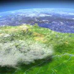
Satellite-derived Earth observation data helps researchers unlock new insights into monitoring both environmental and human health.

Weather forecasting is improving at a great rate, even though climate change could be making it tougher.
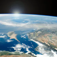
New research reveals our understanding of dust’s role in the environment is far from settled.

Without satellites, we wouldn’t have much of the Earth and climate data we have today. And Australia is a world leader in satellite data.

The toll on wildlife from illegal fishing, bycatch and entanglement in fishing gear is likely underestimated, because it doesn’t account for ‘dark’ fishing vessels, a new study finds.

Our new maps show coral reefs are more extensive than we thought.

Satellite data shows wildfires are destroying large areas of timber-producing forests around the world. These fires are becoming more destructive with each passing year.

Autumn is arriving later in the year – climate change is probably to blame.

We used satellite data to create global maps of where and how fires are burning. Fire season lasts two weeks longer than it used to and fires are more intense. But there are regional differences.
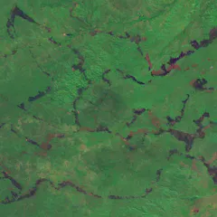
Satellite data and traditional know-how combined have drastically reduced fires across northern Australia over the past 20 years.

Two decades of satellite data have allowed us to map fires across the country and identify areas facing high fire risks. Fire activity has increased in several major regions over the past decade.

Internet access opens up the world in many ways.

Cellphones are constantly collecting location data from global satellites, but there is uncertainty about who is using these data, and for what purposes.

Advances in technology have enabled researchers to sequence the large regions of repetitive DNA that eluded the Human Genome Project.

To date, the program has provided nearly $10 million to roughly 137,000 of the country’s poorest citizens.
Top contributors
-

Research Fellow in Environmental Science, University of Tasmania
-
Postdoctoral Research Associate, University of Cambridge
-
Professor of Remote Sensing in Geography and Environmental Science, University of Southampton
-
Professor, University of Cambridge
-
Lead Engineer, Australian National University
-
Professor, Australian National University
-
Director, Bushfire Research Centre of Excellence, Australian National University
-
Distinguished Professor of Ecology, Fenner School of Environment and Society, Australian National University
-
Assistant Professor of Natural Resources and the Environment, University of Connecticut
-
Professor of Pyrogeography and Fire Science, University of Tasmania
-
Visiting Professor, Department of Geography & Environmental Systems, University of Maryland, Baltimore County
-
Climate Research Fellow with the Climate Futures Programme, University of Tasmania
-
Professor and Head of School of Civil Engineering, University of Sydney
-
Ph.D. Candidate in Molecular and Cell Biology, University of Connecticut
-
Postdoctoral research fellow, Australian National University