
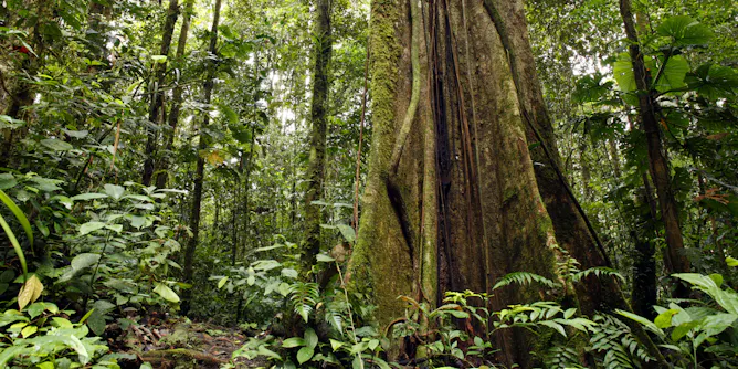
New research suggests 75% of the rainforest has become less resilient to stress since the early 2000s.
Articles on Satellite data
Displaying 21 - 32 of 32 articles
The nanosatellite constellation will detect, monitor and identify foreign vessels within the country’s maritime borders.
Australia’s bushfire response relies on foreign satellites, which are not designed to assess our highly flammable eucalypt-clad landscapes.
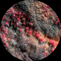
Clouds are central players in climate change, and ‘Path 99’ reveals them in a new light using data discarded by scientists.
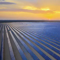
Our data provides a common benchmark unbiased by reporting from companies or governments.
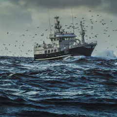
Forced labor is a widespread problem in fisheries on the high seas. Between 2012 and 2018, an estimated 100,000 people may have been victims of forced labor on thousands of different boats.
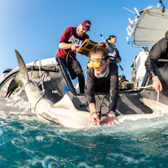
Researchers are using a newly developed satellite tag to study previously unknown aspects of tiger shark reproduction. This approach could be used on other difficult-to-study shark species.
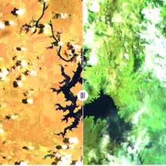
It’s important to remember that most of this greening is due to growth of grasses, which respond more rapidly after rain.
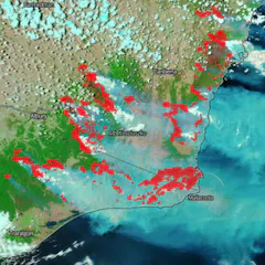
By understanding how bushfire maps are created, and what their features represent, you can get better at spotting fake ones.
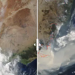
We pulled four before-and-after NASA satellite images and asked bushfire researcher Grant Williamson to reflect on the story they tell.
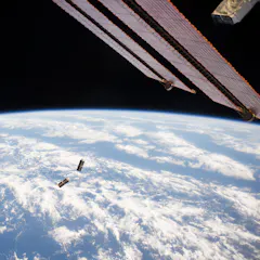
Free space optical communication will allow the same connectivity in space we already have on Earth. And this will provide benefits across a number of sectors.
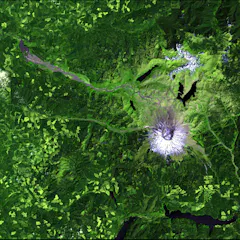
Since 2008, Landsat data has been free for the world to use, spurring new applications and scientific research. But that door could soon slam shut.
Top contributors
-

Research Fellow in Environmental Science, University of Tasmania
-
Postdoctoral Research Associate, University of Cambridge
-
Professor of Remote Sensing in Geography and Environmental Science, University of Southampton
-
Professor, University of Cambridge
-
Lead Engineer, Australian National University
-
Professor, Australian National University
-
Director, Bushfire Research Centre of Excellence, Australian National University
-
Distinguished Professor of Ecology, Fenner School of Environment and Society, Australian National University
-
Assistant Professor of Natural Resources and the Environment, University of Connecticut
-
Professor of Pyrogeography and Fire Science, University of Tasmania
-
Visiting Professor, Department of Geography & Environmental Systems, University of Maryland, Baltimore County
-
Climate Research Fellow with the Climate Futures Programme, University of Tasmania
-
Professor and Head of School of Civil Engineering, University of Sydney
-
Ph.D. Candidate in Molecular and Cell Biology, University of Connecticut
-
Postdoctoral research fellow, Australian National University