

When penguin colonies are surrounded by sea ice, the penguins tend to eat more fish, rather than krill. And colonies that eat more fish are more successful at sustaining their numbers.
Articles on Landsat
Displaying all articles

Without satellites, we wouldn’t have much of the Earth and climate data we have today. And Australia is a world leader in satellite data.
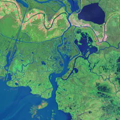
Time-lapse animations that once took days to create are now easy to build with publicly available satellite images and free online tools.
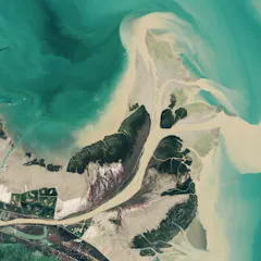
With decades of images and data from the same locations, these satellites can show changes over time, including deforestation, changes in waterways and how loss of trees corresponds to urban heat.
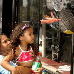
Extreme heat waves are putting lives in danger, with some of the hottest urban neighborhoods 10 degrees hotter or more than their wealthier neighbors. Often, these are communities of color.
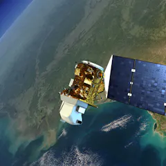
When Indigenous peoples lose their river flow to dams, satellite programs like Landsat – which is celebrating its 50th anniversary – can help them fight for their resources.
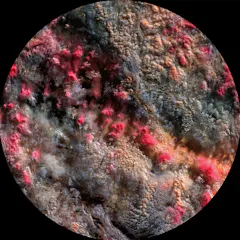
Clouds are central players in climate change, and ‘Path 99’ reveals them in a new light using data discarded by scientists.
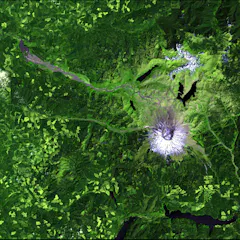
Since 2008, Landsat data has been free for the world to use, spurring new applications and scientific research. But that door could soon slam shut.
Top contributors
-

Professor of Hydrology, University of Washington
-
Graduate Research Assistant, University of Washington
-
Graduate Research Assistant in Computational Hydrology, University of Washington
-
Graduate Research Assistant, University of Washington
-
Associate Professor of Geography, Indiana University
-
Assistant Professor of Natural Resources and the Environment, University of Connecticut
-
Assistant Professor of Biological Sciences, Clemson University
-
Assistant Professor
-
Chief Executive Officer, Australasian Centre for Space Governance; Associate Expert, National Security College, Australian National University
-
Associate Professor of Geography and Sustainability, University of Tennessee
-
Director, ARC Centre of Excellence for the Weather of the 21st Century, Monash University
-
Researcher Soupport Manager, Adelaide University
-
Associate Professor, Composition and Sonic Arts, Te Herenga Waka — Victoria University of Wellington