
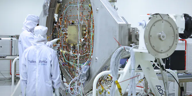
Europe’s leading aerospace industry players have no choice but to work hand in hand to further its space missions and develop critical infrastructure for security and climate protection.
Articles on Earth observation
Displaying 1 - 20 of 25 articles

As Australia faces longer, more erratic fire seasons, tools like this may prove essential for staying one step ahead of the flames.

From the wave-lashed surface to the deep sea, the Southern Ocean Time Series is a crucial tool for scientists to keep the pulse of this important region of Earth.
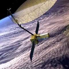
The NISAR satellite will be able to detect centimetre-sized changes on Earth’s surface, providing crucial data for agriculture and climate modelling.

Africa’s new space agency has an important role to play in coordinating satellite data and boosting connectivity.
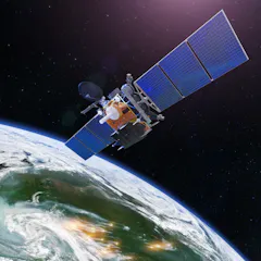
From space, scientists can track everything from sea levels or greenhouse gases to infectious bacteria or water stored underground.

Without satellites, we wouldn’t have much of the Earth and climate data we have today. And Australia is a world leader in satellite data.
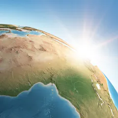
Côte d’Ivoire’s nanosatellite is the first step towards applications that monitor environmental harm and illegal activities and assist in planning for development.
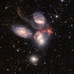
NASA has been gaining momentum in recent years as investment into space has ramped up in the US. In 2022, missions dealt with the farthest, closest, hottest and coldest conditions in the universe.
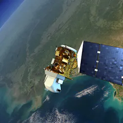
When Indigenous peoples lose their river flow to dams, satellite programs like Landsat – which is celebrating its 50th anniversary – can help them fight for their resources.
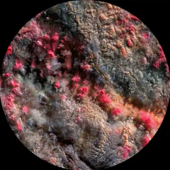
Clouds are central players in climate change, and ‘Path 99’ reveals them in a new light using data discarded by scientists.
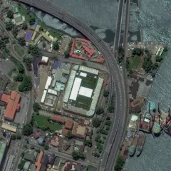
An expert says Nigeria’s capacity to access space support for development and security will be affected if its satellite goes down.
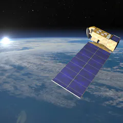
Earth observation satellites can measure millimetre changes in sea level and track deforestation in near-real time.

A new plan targets areas around the world that can store carbon and protect large numbers of species. It calls for preserving these lands, working with Indigenous peoples and connecting wild areas.
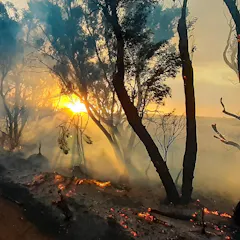
A scientist whose Kangaroo Island home was threatened by the summer’s bushfires says there is a ‘knowledge gap’ between satellite data and useful maps that can protect communities.
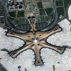
China has embraced the concept of Digital Earth – the use of data from satellites to create a visual map of what’s happening at every point on the planet – and is now a key player in making it happen.

For several years, emissions of CFCs have been rising, in apparent defiance of a global ban in place since 2010. A new global detective effort has traced the source to two eastern Chinese provinces.

A new study lays out a road map for protecting and restoring 50% of Earth’s surface, targeted to preserve biodiversity and maximize natural removal of carbon from the atmosphere.
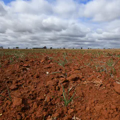
New satellite-based research shows there is at least as much value in knowing how much water is left for plants to use as there is in knowing how much rain may be on the way.
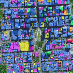
The huge volume and high quality of data streaming down from Earth observation satellites are transforming how we see and shape our cities.
Top contributors
-

Visiting Scholar, Department of Architecture, University of Cambridge
-
Director, Center for Global Discovery and Conservation Science and Professor, Arizona State University
-
Principal Research Scientist, CSIRO
-
Principal research scientist, CSIRO
-
Researcher Soupport Manager, Adelaide University
-
Professor, Scripps Institution of Oceanography, University of California, San Diego
-
Professor of Geography, Director - Remote Sensing Research Centre, Chair - Earth Observation Australia, The University of Queensland
-
Professorial Fellow, The University of Melbourne
-
Senior Research Scientist, CSIRO
-
Graduate Student Researcher, University of California, San Diego
-
Assistant Professor of Geophysics and Hydrologic Science and Engineering, Colorado School of Mines
-
Graduate Research Assistant, University of Washington
-
Professor of Hydrology, University of Washington
-
Épistémologue, Historien des sciences et Logicien, Université Félix Houphouët-Boigny. Cocody, Côte-d'Ivoire
-
Postdoctoral Scholar, Jet Propulsion Laboratory, California Institute of Technology