
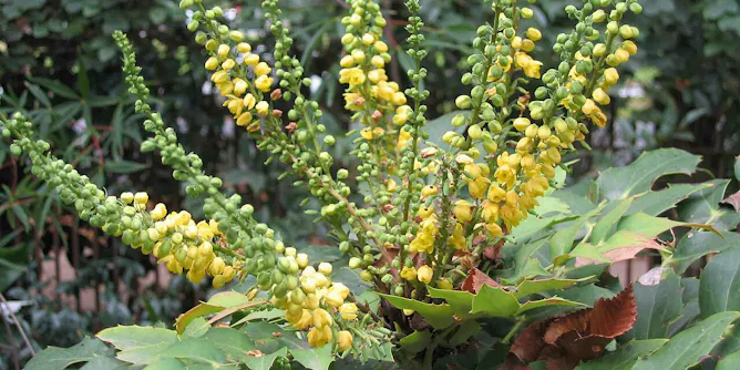
The people who manage America’s aquifers, wetlands, shorelines and recreation areas rely on federal science as they face new and rising risks in a changing climate.
Articles on US Geological Survey (USGS)
Displaying all articles
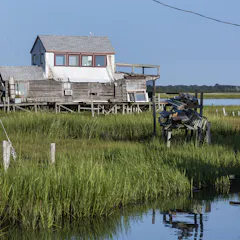
The administration wants to cut funding for programs that help communities adapt to wildfire risk, sea-level rise and invasive species, among many other risks.
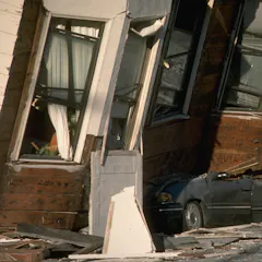
The US experiences violent earthquakes, but the damage and death toll is much lower than in many countries because of the work of federal seismologists and engineers.
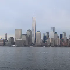
Land subsidence is a factor as preparations are made for rising sea levels and strengthening storms. Human infrastructure, including buildings and groundwater extraction, increases vulnerabilities.
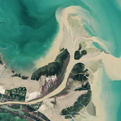
With decades of images and data from the same locations, these satellites can show changes over time, including deforestation, changes in waterways and how loss of trees corresponds to urban heat.
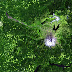
Since 2008, Landsat data has been free for the world to use, spurring new applications and scientific research. But that door could soon slam shut.
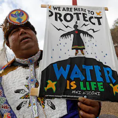
For the Blackfeet, Lakota and other Native American people, water does more than sustain life – it’s the place of the divine.
Top contributors
-

Professor of Biogeography and Spatial Ecology, UMass Amherst
-
Associate Professor of Geography, Indiana University
-
Associate Professor of Oceanography, University of Rhode Island
-
Graduate Research Assistant, University of Washington
-
Assistant Professor of Natural Resources and the Environment, University of Connecticut
-
Assistant Professor
-
Graduate Research Assistant, University of Washington
-
Professor of Hydrology, University of Washington
-
Professor of Oceanography, Graduate School of Oceanography, University of Rhode Island
-
Graduate Research Assistant in Computational Hydrology, University of Washington
-
Ph.D. Candidate in Oceangraphy, University of Rhode Island
-
Professor of Business Administration Management, St. Norbert College
-
Professor of Engineering, University of California, Los Angeles
-
Associate Professor of Natural Resources, University of Arizona
-
Senior Scientist for the Climate Impacts Group, University of Washington