
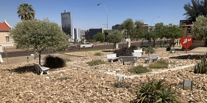
New research shows how Windhoek’s ‘Brown is Beautiful’ approach could use its dry landscape to protect the city from heat, drought and floods.
Articles on Urban planning
Displaying 1 - 20 of 694 articles

Uncertainty over whether the seat of the papacy would remain in the city explains why Rome was a late developer when it came to palace-building, lagging behind Florence and Venice.
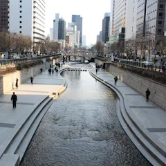
Stream daylighting can help manage stormwater, restore habitats and create greener, more walkable public spaces.

New research argues urban planning must recognise animals, plants and ecosystems as fellow inhabitants of our cities.
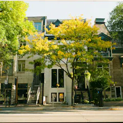
A sedentary lifestyle lurks in every neighbourhood. So what motivates people to walk?
AI systems can already monitor traffic lights, scan for potholes and answer residents’ questions – the hard part is making sure people can trust them.
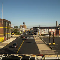
Greater Philadelphia earned failing air quality grades. A new study finds higher asthma rates near industry and major roads, especially where green space is scarce.

Sometimes the best escape isn’t a weekend away. It’s the park just down the road.
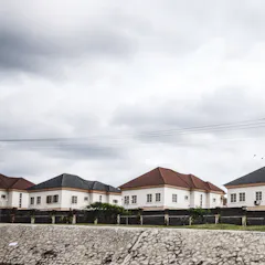
Nigeria’s housing policies have failed to meet the needs of its federal capital residents.
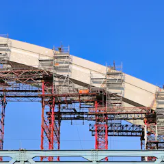
A group of researchers explored governance models in ten countries to see whether they help plan and deliver large-scale infrastructure works more responsibly and efficiently.
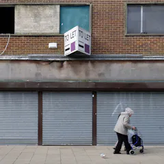
A one-size-fits-all approach won’t work to revive Britain’s left-behind areas.
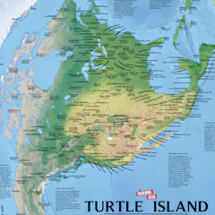
From who gets to vote to how people travel and where taxpayer dollars are funneled, politicians and urban planners wield maps to control public imagination.

If we want cities where all children can thrive, we need to create conditions where play is part of daily life, not something that must be scheduled or purchased.

But economic and cultural forces mean dense housing is harder to develop than low-rise sprawl.

Urban design depends heavily on human judgment and field-based understanding.
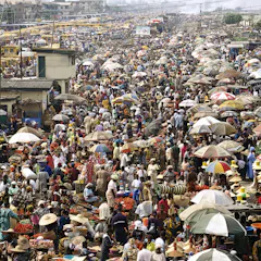
Floods regularly devastate Lagos’s informal workers, but traders and residents have built their own systems to adapt where the state has failed.
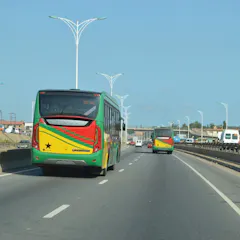
As cities grow, it would be better to have more efficient, higher-capacity transport than more vehicles on the road.

Urban waterways sit at the heart of the global nature crisis.

As the baby boomer generation ages, cities must rethink the accessibility of public spaces. Comfort, legibility and geometric clarity are the essential elements of an inclusive city.
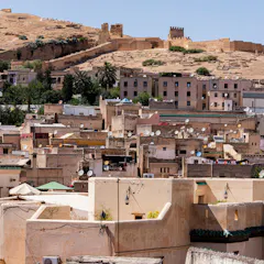
City transformation is increasingly being shaped by a complex interaction between the past and the future.
Top contributors
-

Professor of Human Geography and Planning, University of Tasmania
-
Senior Lecturer in Urban and Environmental Planning, Griffith University
-
Head of Urbanism and Associate Professor of Urban Studies, School of Architecture, Design and Planning, University of Sydney
-
Associate Professor of Urban Planning, The University of Melbourne
-
Professor of Planning, School of Built Environment, UNSW
-
Associate Professor in Urban Planning, The University of Queensland
-
Professor of International Planning, Centre for Urban Research, RMIT University
-
Associate Professor in Urban and Regional Planning, University of Sydney
-
Teaching Assistant Professor, University of Pittsburg and Visiting Associate Professor, The University of Osaka, University of Pittsburgh
-
Senior Research Fellow, Acting Director, CHETRE, UNSW
-
Honorary Professor of Planning, The University of Queensland
-
Senior Lecturer in Urban Planning & Design, Monash University
-
Professor of Sustainability, Curtin University
-
Senior Lecturer, University of Environment and Sustainable Development
-
Professor, City Futures Research Centre, UNSW