
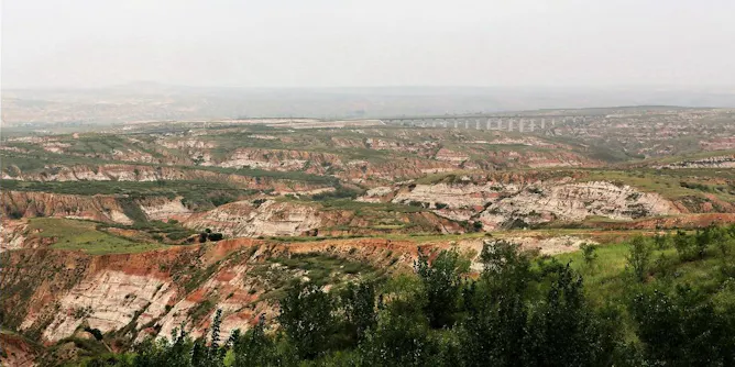
A big dip in the Earth’s crust may record an ancient continental collision from the dawn of plate tectonics.
Articles on Plate tectonics
Displaying 41 - 60 of 87 articles

Born on July 30, 1920, geologist and cartographer Tharp changed scientific thinking about what lay at the bottom of the ocean – not a featureless flat, but rugged and varied terrain.
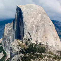
How the earliest continents formed has been a matter of debate. Analysis of zircons in Canada and Australia suggest that those historical processes are similar to current tectonic movements.
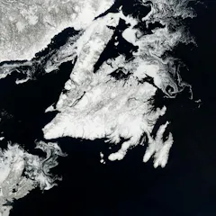
New research has found that the continents ended up where they are today because of previous plate tectonic processes that controlled how Pangaea broke apart.
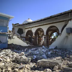
Puerto Rico’s January earthquakes came after many foreshocks and have been followed by numerous aftershocks. Scientists are studying these sequences to improve earthquake forecasting.
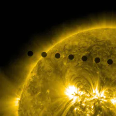
This hot, acidic neighbor with its surface veiled in thick clouds hasn’t benefited from the attention showered on Mars and the Moon. But Venus may offer insights into the fate of the Earth.
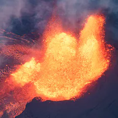
New findings suggest the core has been leaking for the past 2.5 billion years, and that could help scientists understand how the core was formed.
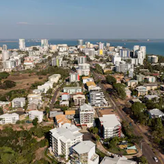
Because it happened within the Australian Plate rather than at a plate boundary, shockwaves from the quake travelled more efficiently to Darwin than to cities closer to the epicentre.
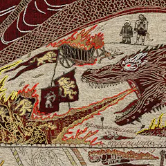
Even in this fantasy world, geological processes like tectonic plate movement, earthquakes and volcanic eruptions would have built the mountains, carved the rivers, and created vast oceans.
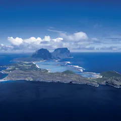
Lord Howe Island is part of an underwater volcanic chain much older than first thought, with the possibility of new islands still to form.

Australia’s slowly heading north to one day become part of Asia, but a study of the rocks tell us that’s not the first time there’s been a connection.
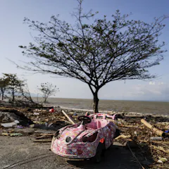
A combination of tectonic plates, geography and poor infrastructure make Indonesia vulnerable to deadly tsunamis.
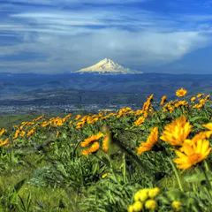
A new array of seismometers provides a glimpse of what’s happening deep beneath this geologic fault. New data help explain why the north and south of the region are more seismically active than the middle.
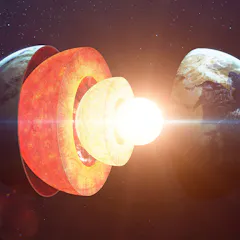
Seismologists use sensors to build images of the interior of the earth. Making the invisible, visible.

The remote Pilbara region of Western Australian formed many billions of years ago when the Earth was much hotter and the crust softer than it is today.
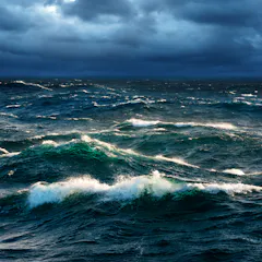
Tides are the largest they have been for 250m years.
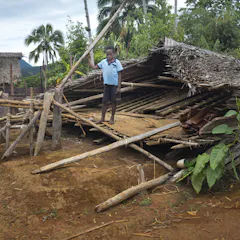
Fresh earthquakes and aftershocks hit parts of Papua New Guinea following February’s deadly quake. It’s Australia’s slow push north that’s part of PNG’s seismic activity.
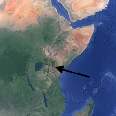
East Africa Rift is undergoing a process that will see the Horn of Africa split from the rest of the continent.
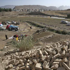
The Nov. 12 earthquake wasn’t centered on any known major faults in the Earth’s crust. In its wake, scientists will collect data to add detail to what they know about seismic activity in the area.

You would not recognise Earth if you saw it 500 million years ago - the lands, oceans, climate and life were all very different. Scientists now have a new map of the deep history of Earth.
Top contributors
-

Professor of Earthquake Science, The University of Melbourne
-
Earthquake Scientist, Monash University
-
Professor of Geology, West Virginia University
-
ARC DECRA Fellow, School of Geosciences, University of Sydney
-
Emeritus Strategic Professor in Palaeontology, Flinders University
-
Professor of Geology, Adelaide University
-
Associate Professor of Earth, Environmental, and Planetary Sciences, Washington University in St. Louis
-
Associate Professor in Geophysics, Te Herenga Waka — Victoria University of Wellington
-
Harold T. Stearns Professor of Earth Science, Wesleyan University
-
Associate professor, University of Tasmania
-
Honorary Fellow in Structural Geology and Tectonics, The University of Melbourne
-
Honorary researcher, The University of Melbourne
-
Professor of Geophysics, University of Sydney
-
Lecturer in Geoscience, Queensland University of Technology
-
Associate Professor of Earth and Planetary Sciences, University of Tennessee