
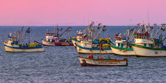
The Pacific Ocean climate pattern is the opposite of El Niño.
Articles on El Nino
Displaying 121 - 140 of 258 articles
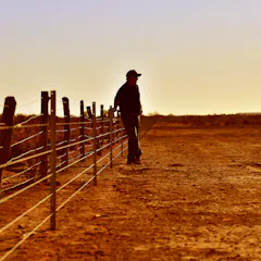
Not all El Niño events lead to drought in Australia. Other factors are involved and it will take some time for drought to develop now catchments are wet and most dams are full.
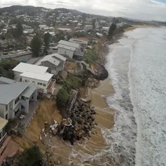
We can now monitor coastal changes across thousands of beaches over the last 40 years, from Australia, New Zealand and Japan, to Chile, Peru, Mexico and California. Here’s what our new tool uncovered.
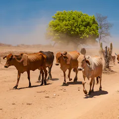
From bushfires in Australia to insect-borne disease outbreaks in Colombia.
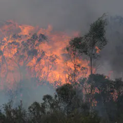
The latest Bureau of Meteorology forecast offers relief from record rain and floods brought about by La Niña. A longer-term outlook for El Niño is still up in the air – but its arrival would be disastrous.
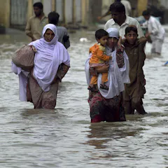
Globally, the air is getting hotter and drier, which means flash droughts and risky fire conditions are developing faster and more frequently.
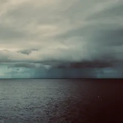
The findings have big implications for how Australians prepare for extreme weather events.
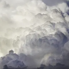
On Australia’s rainiest days, more than 30 trillion litres can fall from the skies.

Millions of mangroves died off along Australia’s northern coast. The cause? El Niño - and the moon’s wobbly orbit causing extremely low tides.
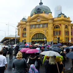
La Niña is officially here for the third year in a row. You probably associate it with flooding, but how might it affect future drought and bushfires? And could a fourth La Niña be possible?

Wildfires are intensifying, yet they’re one of the most poorly understood phenomena on Earth. New research shows that they can disturb both regional and global climate.
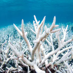
Efforts to save the reef aren’t tackling the main cause: climate change. What we need from our next federal government is strong leadership to avert the climate crisis.
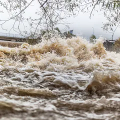
Southern Africa’s current above-average rainfall is a climate variability signal - a short-term fluctuation in average wet-season conditions.

Extreme heat over 50°C is likely to become more common, giving us yet another reason for Australia to act fast on climate change.
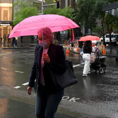
After one La Niña, the Pacific sometimes retains cool water which enables a second La Niña to form.
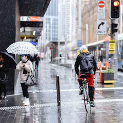
The southern parts of Australia are expected to become increasingly dry due to climate change. Yet, we now find ourselves subject to another La Niña event. What’s going on?
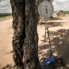
Au cours des six dernières années, cinq saisons des pluies ont été mauvaises ou très mauvaises à Madagascar.
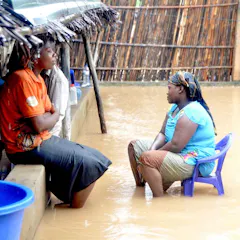
Small and medium-scale farmers and agri-businesses in Southern and Eastern Africa, which are at the heart of inclusive food value chains, are not receiving fair prices for their produce.
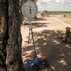
Out of the last six years in Madagascar, five years have had poor or very bad rainy seasons.
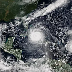
To get a sense of how bad the 2021 hurricane season will be, keep an eye on the African monsoon, ocean temperatures and a possible late-blooming La Niña.
Top contributors
-

ARC Future Fellow and Associate Professor in Climate Science, ARC Centre of Excellence for 21st Century Weather, The University of Melbourne
-
Adjunct Professor (Practice) in the School of Earth, Atmosphere and Environment, Monash University
-
Senior Research Associate, UNSW
-
Senior Climatologist, Australian Bureau of Meteorology
-
Postdoctoral Research Fellow in Atmospheric Sciences, The University of Melbourne
-
Distinguished Scholar, National Center for Atmospheric Research; Affiliate Faculty, University of Auckland, Waipapa Taumata Rau
-
Chief Research Scientist, Oceans and Atmosphere, CSIRO, CSIRO
-
Principal Research Scientist, CSIRO
-
Climate Scientist, Australian Bureau of Meteorology
-
Climate scientist, Australian Bureau of Meteorology
-
Lecturer, School of Agriculture, Food and Ecosystem Sciences, The University of Melbourne
-
Director of the ARC Centre of Excellence for Our Future Oceans and Scientia Professor in Oceanography, UNSW
-
Lecturer, Climate Science Geography, The University of Melbourne
-
Director of the Climate Hazards Center, University of California, Santa Barbara
-
Senior Research Scientist, CSIRO