
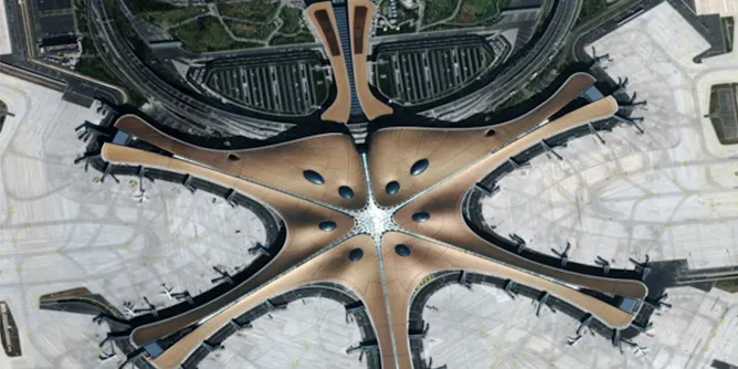
China has embraced the concept of Digital Earth – the use of data from satellites to create a visual map of what’s happening at every point on the planet – and is now a key player in making it happen.
Articles on Digital Earth
Displaying all articles
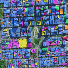
The huge volume and high quality of data streaming down from Earth observation satellites are transforming how we see and shape our cities.
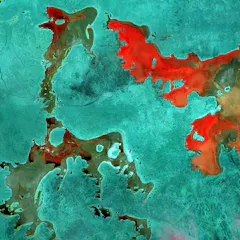
The Open Air project features satellite data interpreted and coloured to produce beautiful, surreal images of Australian landforms.
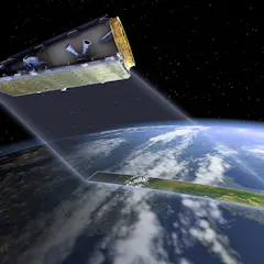
Australia will be able to guide the Earth observation satellite “NovaSAR” as it passes over our region - giving us a new level of control over the data we need to solve local problems.
