
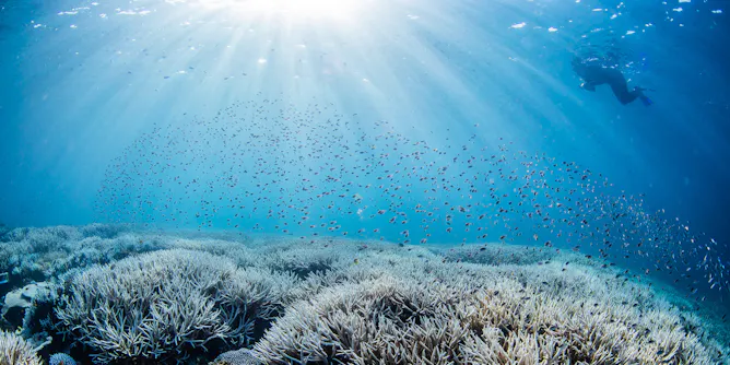
Heat is surging in the world’s oceans. Climate change and El Niño explain part of it – but not all.
Articles on ENSO
Displaying 21 - 40 of 57 articles
El Niño can direct more warm water to the base of West Antarctic ice shelves, accelerating melting and increasing global sea level.
The strong El Niño that started in 2023 will still have big impacts at least through March. Here’s what to watch for next.
El Niño usually brings hot, dry weather to Australia. But the rains that have drenched eastern Australia are normal too.
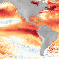
An atmospheric scientist explains how El Niño works, this year’s oddities and why this phenomenon doesn’t last long.
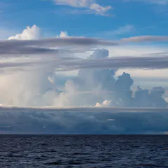
It’s not just ocean temperatures that determine whether we have El Niño or La Niña. Air circulation also plays a role, and it’s changing in unexpected ways.

The bad news: Extreme heat is probably going to stick around for a couple of more years.

2016 was the world’s warmest year on record, due in part to a very strong El Niño event. But 2023 (and 2024) could beat that record – what should we expect?
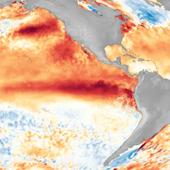
The official forecast calls for a strong El Niño by winter, but other models suggest it might dip in and out. An atmospheric scientist explains.
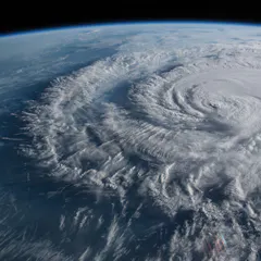
Current forecasts suggest a warm tropical Pacific will be interfering with what could otherwise be a ferocious Atlantic hurricane season.
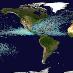
El Niño years put Hawaii and the Mexican Riviera on alert for destructive tropical storms and hurricanes.
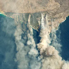
Where there’s fire, there’s smoke – could plumes from the Black Summer of fire have cooled regions of the Pacific and triggered a La Niña? New research suggests it’s possible.

After three long years of rainy weather, La Niña is over. But that doesn’t mean El Niño is a certainty. Here’s why.
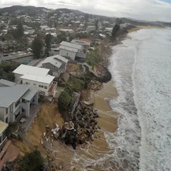
We can now monitor coastal changes across thousands of beaches over the last 40 years, from Australia, New Zealand and Japan, to Chile, Peru, Mexico and California. Here’s what our new tool uncovered.
On Australia’s rainiest days, more than 30 trillion litres can fall from the skies.
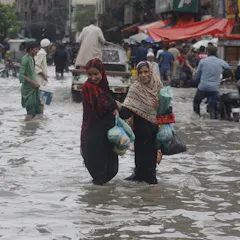
A climate scientist explains the forces behind the summer’s extreme downpours and dangerous heat waves, and why new locations will be at risk in the coming year.

By following moisture from the oceans to the land, researchers worked out exactly how three oceans conspire to deliver deluges of rain to eastern Australia.
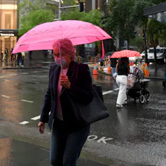
After one La Niña, the Pacific sometimes retains cool water which enables a second La Niña to form.

The NSW floods are a textbook example of the theoretical impacts we can expect on Australian rainfall as climate change continues.
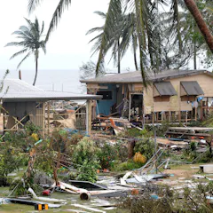
A new statistical model predicts the number of tropical cyclones up to four months before the start of the season from November to April.
Top contributors
-

ARC Future Fellow and Associate Professor in Climate Science, ARC Centre of Excellence for 21st Century Weather, The University of Melbourne
-
Distinguished Scholar, National Center for Atmospheric Research; Affiliate Faculty, University of Auckland, Waipapa Taumata Rau
-
Postdoctoral Research Fellow in Atmospheric Sciences, The University of Melbourne
-
Climate Scientist, Australian Bureau of Meteorology
-
Associate Research Professor in Climate Modeling, University of Colorado Boulder
-
Researcher, Oceans and Atmosphere, CSIRO
-
Associate Professor – Hydroclimatology, University of Newcastle
-
Postdoctoral Researcher, University of Newcastle
-
Senior Research Associate, UNSW
-
Professor, UNSW
-
Director of the ARC Centre of Excellence for Our Future Oceans and Scientia Professor in Oceanography, UNSW
-
Professor School of Engineering, University of Newcastle
-
Marine ecologist, CSIRO
-
Senior research scientist, CSIRO
-
Senior Principal Research Scientist, CSIRO