
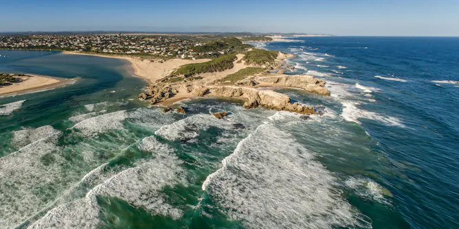
A greater understanding of interconnectedness created by river maps could influence people to become more engaged with conserving river systems.
Articles on Mapping
Displaying 21 - 40 of 71 articles

The coronavirus pandemic has driven a lot of scientific progress in the past year. But just as some of the social changes are likely here to stay, so are some medical innovations.
An algorithm driven world is dehumanising – but by understanding this we can call for a more equitable and human use of data.

Born on July 30, 1920, geologist and cartographer Tharp changed scientific thinking about what lay at the bottom of the ocean – not a featureless flat, but rugged and varied terrain.
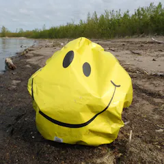
Releasing balloons at weddings and other celebrations is festive, until they break into pieces and become plastic pollution. A citizen science project is spotlighting the problem.
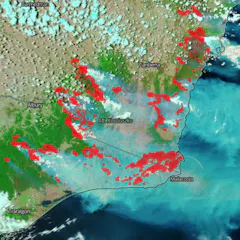
By understanding how bushfire maps are created, and what their features represent, you can get better at spotting fake ones.
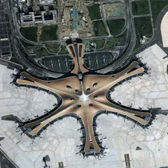
China has embraced the concept of Digital Earth – the use of data from satellites to create a visual map of what’s happening at every point on the planet – and is now a key player in making it happen.

When primary school children in a disadvantaged part of Sydney were asked to map what they valued in the area, their choices were revealing and sometimes surprising.
Take a look at the first high-resolution map of the US food supply chain.
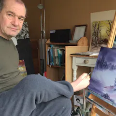
Ultra-clear maps of individual toes were found in the brains of two foot painters – these are not found in typically developed humans.
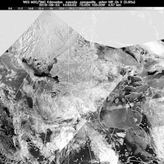
In May 2019, Canada made a partial submission to the United Nations on the limits of its extended continental shelf in the Arctic.

Historically, western corporate maps have been privileged over Indigenous ones. But given the essential debate of territory in resource conflicts, maps are a crucial tool.
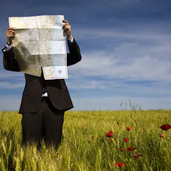
Google, Amazon and other powerful groups are renaming American cities and neighborhoods. That may make the area more appealing to newcomers – but, in many cases, residents aren’t happy.
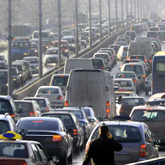
Childhood asthma cases caused by traffic pollution are on the decline. But children in some parts of the country are faring better than others.
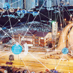
Canadian researchers have mapped smart city technologies throughout the country. The interactive map is intended to inform urban residents of the locations of technologies that may affect privacy.
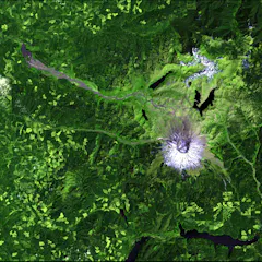
Since 2008, Landsat data has been free for the world to use, spurring new applications and scientific research. But that door could soon slam shut.
Red Dead Redemption 2 has been criticised for its portrayals of violence, but it could also be teaching players the lost art of reading a map.
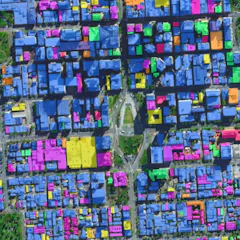
The huge volume and high quality of data streaming down from Earth observation satellites are transforming how we see and shape our cities.

The map will help uncover real experiences of gender inequality in public places, from sports facilities to public transport, community services and infrastructure, to simply walking down the street.

Can happiness really be mapped?
Top contributors
-

Assistant Professor of Natural Resources and the Environment, University of Connecticut
-
Visiting Scholar, Department of Architecture, University of Cambridge
-
Distinguished Research Professor and Australian Laureate, James Cook University
-
Assistant Professor of Computational Social Science, George Mason University
-
Professor in Robotics, Queensland University of Technology
-
Associate Professor of International Affairs, Georgia Institute of Technology
-
Director, XYX Lab, and Professor, Faculty of Art, Design and Architecture, Monash University
-
Professor, Graduate School of Business and Law, RMIT University
-
Professor of Spatial Information, The University of Melbourne
-
Senior Lecturer in Graphic Design, York St John University
-
Professor of Architecture and Urban Design, The University of Melbourne
-
Research Scientist, CSIRO
-
Distinguished Professor of Public Communication, University of Technology Sydney
-
Lecturer , Technical University of Kenya
-
Associate Professor of Geography and GeoInformation Science, George Mason University