
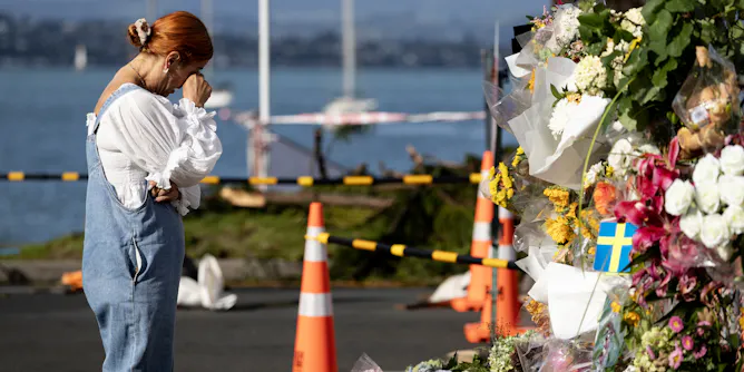
As heavier rain raises landslide risk, gaps in data, law and funding leave New Zealand relying on response rather than prevention.
Articles on Hazard mapping
Displaying all articles
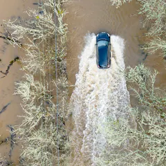
The majority of flood-related deaths involve vehicles in water. What if flood models could warn of the risks street by street using real-time storm forecasts? Machine learning can make it possible.
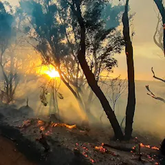
A scientist whose Kangaroo Island home was threatened by the summer’s bushfires says there is a ‘knowledge gap’ between satellite data and useful maps that can protect communities.
