
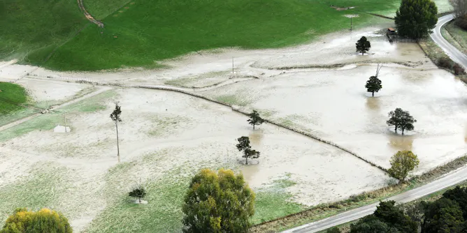
Adaptation plans don’t account for groundwater in shallow coastal aquifers, which can rise with sea levels, increasing the risk of flooding and damage.
Articles on Flood maps
Displaying all articles

Computer models of the storm hitting different areas show how much damage is possible, yet flood maps still focus on where flooding is most likely instead.
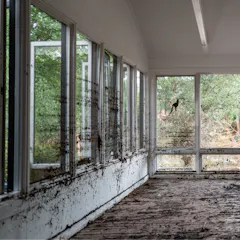
FEMA flood maps are essential tools for identifying flood risks, but they have significant coverage gaps, and politics can get in the way.

The maps show the areas of immediate danger, current and predicted flooding, and where residents should be ready for storms.
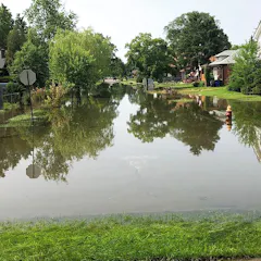
Mapping where water once flowed is important for managing flood risk today in Detroit and elsewhere.
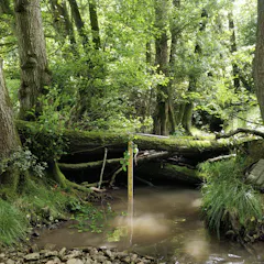
A new study shows that river barriers, similar to those built by beavers, can protect areas at risk of flooding by storing water upstream.

Flood risks are rising, yet communities may spend millions of dollars in federal infrastructure funding on systems that aren’t built to handle them.
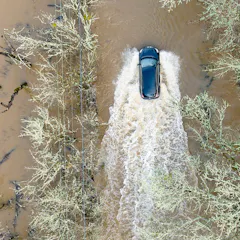
The majority of flood-related deaths involve vehicles in water. What if flood models could warn of the risks street by street using real-time storm forecasts? Machine learning can make it possible.
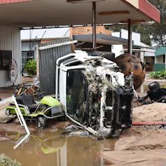
We’ll need clear and well updated information to gauge flood risk as climate change intensifies floods.
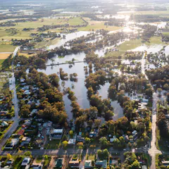
Local councils are on the front line in a planning system that lacks an up-to-date planning framework to properly assess flood risks and prepare responses.
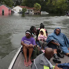
A street-by-street analysis shows where the risks are rising fastest and also lays bare the inequities of who has to endure America’s crippling flood problem.
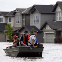
Many cities continue to allow developers to build homes in areas that have a high risk of flooding.
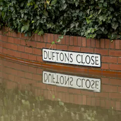
Current policy to manage and protect people from flooding disadvantages those who are most vulnerable.
Top contributors
-

Professor of Quantitative Methods in the Social Sciences, City University of New York
-
Professor of Environmental Planning, University of Waikato
-
Lead - Pilot Deployments Program (AIMS); Professor (Queensland University of Technology; Adjunct), Queensland University of Technology
-
Executive Director, Wharton Risk Center, University of Pennsylvania
-
Assistant Professor of Civil, Construction and Environmental Engineering, Iowa State University
-
Assistant Professor of Civil, Construction and Environmental Engineering, Iowa State University
-
Postdoctoral Research Associate in Environmental Engineering, Cardiff University
-
Professor in Environmental Hydraulics, Cardiff University
-
Royal Academy of Engineering Research Fellow, University of Liverpool
-
PhD Candidate in Planning, Bond University
-
Professor of Sociology and Board of Governors Research Chair in Resilience & Sustainability, Mount Royal University
-
Professor of Hydrology, School of Geographical Sciences, University of Bristol
-
Lecturer in Human Geography and Urban Development, Manchester Metropolitan University
-
Research Fellow, University of Bristol
-
Professor of Geology, University of Michigan-Dearborn