
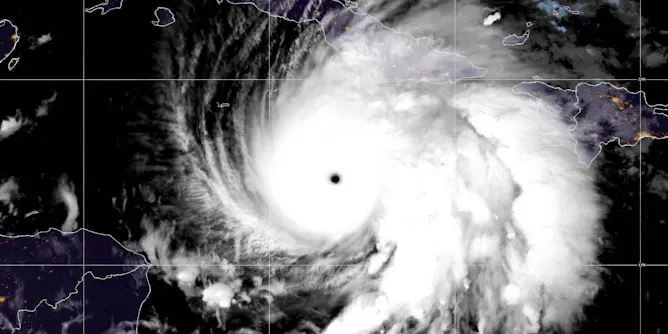
In a single day, Melissa exploded from a moderate storm into a major hurricane with 170mph winds.
Articles on Rapid intensification
Displaying all articles
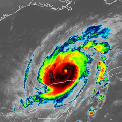
Milton’s fast spin-up in the Gulf of Mexico was one of the most rapid intensifications on record. Two scientists who study hurricanes explain why this happens and what’s changing.
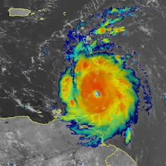
Beryl’s strength and rapid intensification set records, raising alarms about what’s already expected to be a very active Atlantic hurricane season, as a meteorologist explains.
A hurricane scientist explains the conflict between 2023’s abnormally high ocean heat and the storm-disrupting wind shear accompanying El Niño.
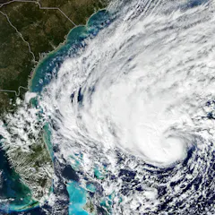
Research shows storms that might have caused minimal damage a few decades ago are becoming stronger and more destructive as the planet warms.
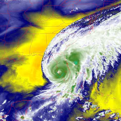
Two hurricane and climate scientists explain what’s known – and still unknown – about global warming’s influence on intensity, rainfall and much more.

The meteorologist leading NOAA’s 2022 hurricane field program describes flying through eyewalls and the technology in these airborne labs for tracking rapid intensification in real time.
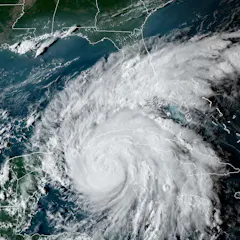
Much of the state is at risk of heavy rainfall, and the coast could see devastating storm surge, particularly around Tampa Bay.

The test facility in Miami helps building designers prevent future storm damage. With the warming climate intensifying hurricanes, engineers are planning a new one with 200 mph winds and storm surge.

Ida exploded from a weak hurricane to a powerful Category 4 storm in less than 24 hours, thanks to heat from an ocean eddy. An oceanographer explains its rapid intensification.
Top contributors
-

Adjunct professor, Flagler College
-
Professor of Earth and Environment, Florida International University
-
Lamont Research Professor of Ocean and Climate Physics, Columbia University
-
Professor of Civil Engineering, Florida International University
-
Associate Professor of Civil Engineering, Florida International University
-
Professor of Oceanography, University of Miami
-
Professor of Climate Science, UMass Lowell
-
Director of the Extreme Events Institute, Florida International University
-
Roger Revelle Professor of Climate Science, Scripps Institution of Oceanography, University of California, San Diego
-
Research Meteorologist, University of Miami
-
Assistant Professor of Earth, Marine and Environmental Sciences, University of North Carolina at Chapel Hill
-
Research Assistant at Florida International University - College of Engineering & Computing, Florida International University
-
Professor of Atmospheric Science, University at Albany, State University of New York
-
Assistant Professor of Atmospheric Science, Georgia Institute of Technology
-
Atmospheric Science Educator, Georgia Institute of Technology