
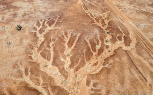
We have to stop thinking of droughts simply as a static state of low moisture. Rapid drought changes can send fire risk soaring.
- Professor, Climate Change Research Centre, UNSW
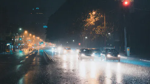
Les observations satellitaires suggèrent depuis longtemps qu’il pleut plus souvent au-dessus des villes. Une nouvelle étude révèle toutefois que les progrès des systèmes d’observation expliquent une part non négligeable de cette tendance.
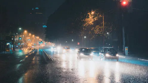
A new study shows it does rain more in cities, but the trend over time has been exaggerated by changes in satellites.
The growing threat of flash flooding as a result of more intense rapid rain bursts means the city needs to update its flood defences.
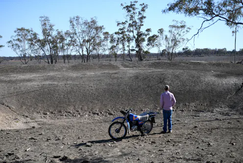
To fully understand why droughts begin, persist and end, we need to answer the question: where does Australia’s rainfall come from? It may seem basic, but the answer isn’t so simple.
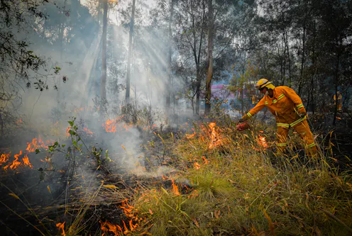
New research has found the window of opportunity for hazard reduction burns won’t actually get smaller, but instead change seasons.
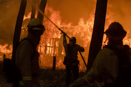
Extreme fire risk will overlap with weather patterns to create fire tornadoes more often under climate change.
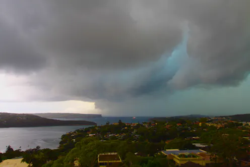
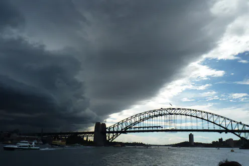
Severe storms bring a complex mixture of weather conditions, often in a very localised area. This unpredictability can make them very damaging, and very hard to study too.
Contact Jason for
- General
- Media request
- Speaking request
- Consulting / Advising
- Research collaboration
- Research supervision
- Location: Sydney, Australia
- Website
- X (formerly Twitter): @jasonpeterevans
- Article Feed
- ORCID
- Joined
