
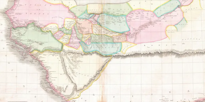
People have always put huge trust in the technology used to create maps, from the ancient Greek dioptra to modern satellites.
Articles on Google Earth
Displaying all articles
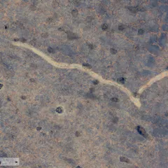
An 11-kilometre long tornado scar was discovered on the Nullarbor Plain. Without the power of technology, it would have gone unnoticed.
Under COVID travel restrictions, I couldn’t travel to Pitta Pitta Country. Instead, I travelled to Country through Google Maps.
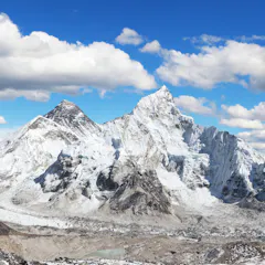
Remote sensing satellites provide the crucial data that helps scientists model disasters so that they can work on predicting avalanche patterns in future.

Archaeologists used to dig primarily at sites that were easy to find thanks to obvious visual clues. But technology – and listening to local people – plays a much bigger role now.

By matching narratives from North Korean escapees with Google Earth images, a fuller picture is emerging of abuses in North Korea.
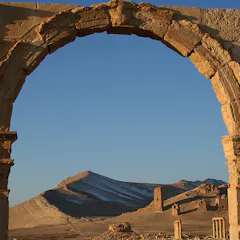
Archaeology is the study of the remains of the past but has long been predatory on the sciences and their ever-growing technologies. I was brought up as a student in 1970s Britain, when we learned of the…
Top contributors
-

PhD Candidate, Monash University
-
Associate Professor of Anthropology, Michigan State University
-
Migration & Social Inclusion Researcher, University of Sheffield
-
Professor of Anthropology, Michigan State University
-
Senior Lecturer of Earth Observation and Planetary Sciences, University of Aberdeen
-
Lecturer of Earth Observation & Planetary Science, University of Aberdeen
-
Professor, Classics & Ancient History, The University of Western Australia
-
Senior Lecturer in Korean Studies, University of Sheffield
-
Research Associate, Geosciences, ZRC SAZU; Curtin University
-
Professor of Geographic Information and Cartography, Department of Geography, UCL