
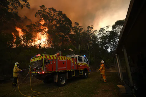
Two decades of satellite data have allowed us to map fires across the country and identify areas facing high fire risks. Fire activity has increased in several major regions over the past decade.
- Adjunct Professor, School of Science at UNSW Canberra, UNSW
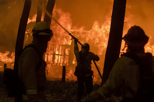
Extreme fire risk will overlap with weather patterns to create fire tornadoes more often under climate change.
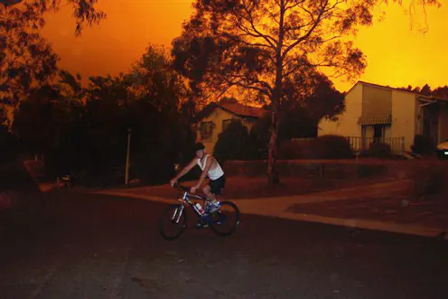
We’ve all seen footage of out-of-control bushfires sweeping the Australian landscape, burning out hectares of native forest in their wake. But you might not have heard of a fire tornado, let alone seen…
Contact Rick for
- General
- Media request
- Speaking request
- Consulting / Advising
- Research collaboration
- Research supervision
- Location: Canberra, Australia
- Website
- Article Feed
- ORCID
- Joined
