
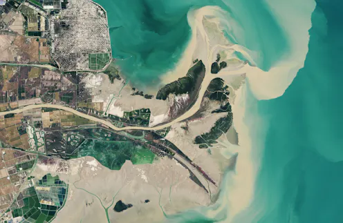
With decades of images and data from the same locations, these satellites can show changes over time, including deforestation, changes in waterways and how loss of trees corresponds to urban heat.
- Graduate Research Assistant, University of Washington
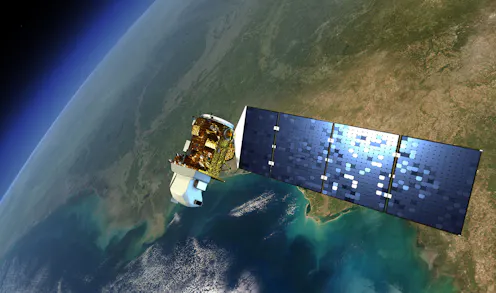
When Indigenous peoples lose their river flow to dams, satellite programs like Landsat – which is celebrating its 50th anniversary – can help them fight for their resources.
Contact Pritam for
- General
- Media request
- Speaking request
- Consulting / Advising
- Research collaboration
- Research supervision
- Location: Seattle, Washington, U.S.
- Website
- Article Feed
- ORCID
- Joined
