
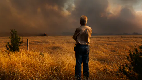
The tool can help communities better understand their local conditions and prepare for bushfires early.
- Director, Bushfire Research Centre of Excellence, Australian National University

As Australia faces longer, more erratic fire seasons, tools like this may prove essential for staying one step ahead of the flames.

As bushfire seasons grow longer and more intense, Australia needs new weapons in its firefighting arsenal.
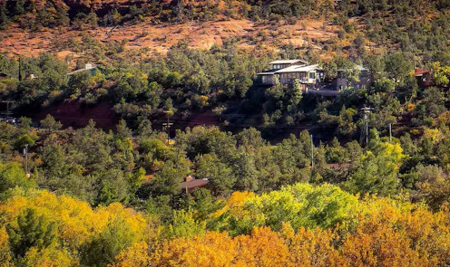
A new study maps vegetation’s fire risk across the West and shows where population in the highest-risk areas from California to Texas is booming.
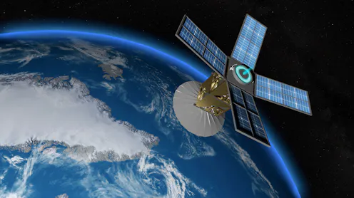
Australia’s bushfire response relies on foreign satellites, which are not designed to assess our highly flammable eucalypt-clad landscapes.
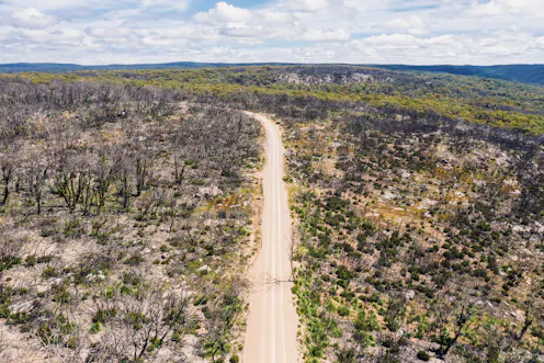
New research shows nature started its long road to recovery in 2020 – especially in NSW and Victoria. But overall conditions across large swathes of the country remain poor.
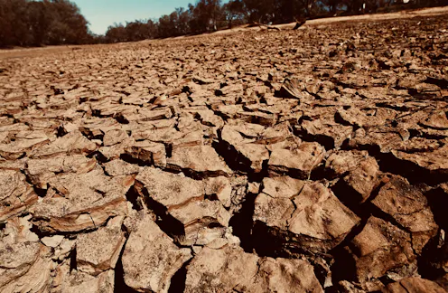
The report reveals the worst environmental conditions in many decades, if not centuries.
Contact Marta for
- General
- Media request
- Speaking request
- Consulting / Advising
- Research collaboration
- Research supervision
- Location: Canberra, Australia
- Website
- LinkedIn: https://www.linkedin.com/in/marta-yebra-40241575/
- X (formerly Twitter): @myebra12
- Article Feed
- ORCID
- Joined
