
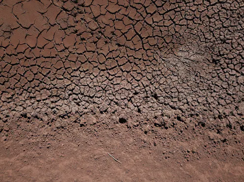
The research help us understand how El Niño and La Niña will change as the world warms in the future.
- Senior Research Associate, UNSW
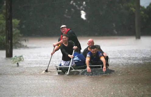
By following moisture from the oceans to the land, researchers worked out exactly how three oceans conspire to deliver deluges of rain to eastern Australia.
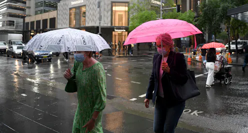
After one La Niña, the Pacific sometimes retains cool water which enables a second La Niña to form.

The seesaw between El Niño and La Niña is set to get stronger with global warming. Signs are that this year and next will deliver a big swing from one to the other, prompting fires and floods across the world.
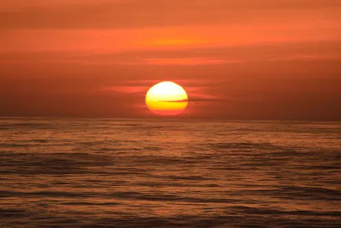
El Niño is officially on, and comparing it to previous events suggests it could be big one, perhaps leading to record-breaking temperatures.
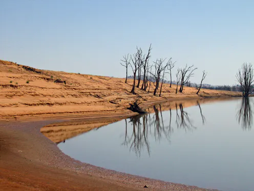
It looks like it’s all over bar the shouting for the chance of this year bringing on a “super” El Niño. Or is it? The Bureau of Meteorology has brought the odds of an El Niño event down to 50%, from 70…
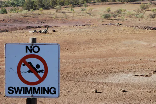
Over the past few months, a lot of attention has been paid to the potentially strong El Niño event brewing in the Pacific Ocean. But there is also the potential for an emerging climate phenomenon in the…
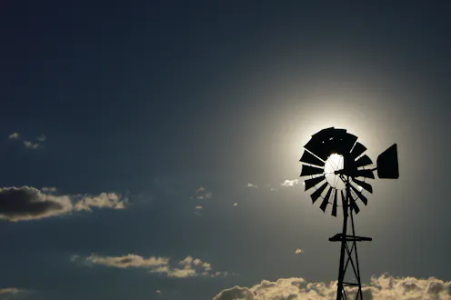
We have only just moved into May and despite being seven months away from next summer in the southern hemisphere, climate researchers are seeing the beginnings of what could be the most powerful El Niño…
Contact Agus for
- General
- Media request
- Speaking request
- Consulting / Advising
- Research collaboration
- Research supervision
- Location: Sydney, Australia
- Website
- Article Feed
- Joined
