Murmansk in north-west Russia and Aloysha – the city’s monument honouring the ‘Defenders of the Soviet Arctic’ or the soldiers, sailors, and airmen who served in World War II. Russia’s arctic zone represents key geostrategic territory in its 2024 Spatial Development Strategy. The area would be the backbone of its plans for a broader Trans-Arctic Transport Corridor.
Parilov/Shutterstock (no reuse)
Sofia Borushkina, European University Institute; Monash University
Support settlements are at the forefront of Russian spatial policy. What does the development of these administrative service hubs tell us about how the land lies in Russia today?
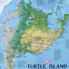
Turtle Island is what some Indigenous peoples call North America. This counter map is oriented to the east, the direction of the rising sun.
The Decolonial Atlas
From who gets to vote to how people travel and where taxpayer dollars are funneled, politicians and urban planners wield maps to control public imagination.
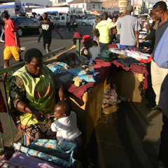
Street trader, Harare, Zimbabwe.
CECIL BO DZWOWA, Shutterstock