
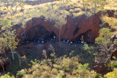
The Juukan 2 rockshelter was blown up in 2020. The results of an archaeological dig carried out six years earlier are only now being published for the first time.
- Postdoctoral Researcher, Geospatial Science and Archaeology, Adelaide University
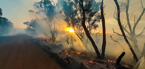
A scientist whose Kangaroo Island home was threatened by the summer’s bushfires says there is a ‘knowledge gap’ between satellite data and useful maps that can protect communities.
Contact Wallace for
- General
- Media request
- Research collaboration
- Research supervision
- Location: Adelaide, Australia
- Website
- X (formerly Twitter): @W_Boone_Law
- Article Feed
- ORCID
- Joined
