
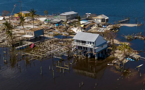
Artificial intelligence can spot differences in images from before and after a storm over wide areas in almost real time. It showed Hurricane Ian’s vast damage in Florida.
- Postdoctoral researcher in environment and remote sensing, University of Connecticut
