
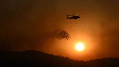
Australia may enter spring with a highly flammable landscape – and no room for complacency.
- Adjunct Professor of Environmental Geography, CQUniversity Australia
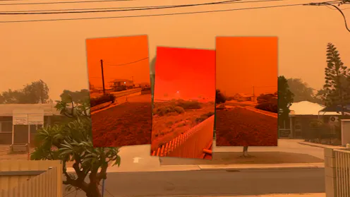
The northwest of Australia is one of only a few places in the world that experience tropical cyclones in the desert.
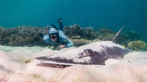
Citizens have contributed to science in Australia for many decades – and the field is now undergoing rapid growth

The system is now twice the size it was when it reached far north Queensland, 5,700km and one week ago.

Cyclone Narelle is expected to cross the Queensland coast on Friday morning. It has followed a predictable westward path, which is highly unusual.

Last year, intense rains saw Kati Thanda-Lake Eyre close to full. As Central Australia braces for floods, the salt lake could fill again.
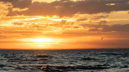
Australia’s northwest is well known for its heat. But this furnace-like area can deliver heatwaves to the southeast, thousands of kilometres away.
We name severe cyclones and storms, but not heatwaves or floods. Why? Are there benefits to giving Australia’s climate-fuelled extreme weather a name?
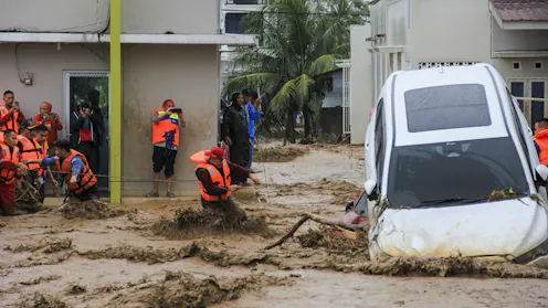
Badai tropis di daerah khatulistiwa jarang terjadi. Itulah salah satu alasan mengapa Badai Senyar menyebabkan kerusakan yang begitu parah di Indonesia dan Malaysia.
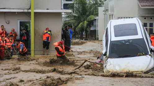
Equatorial cyclones are rare. That’s one reason Cyclone Senyar has done so much damage in Indonesia and Malaysia.
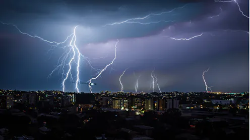
The backlash was swift and intense. Now the Bureau of Meteorology will have to make changes to its new website.
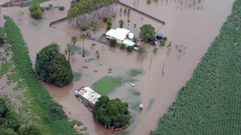
Big plans are afoot to turn Northern Australia into Asia’s “food bowl”. But the reality of climate change can’t be ignored.
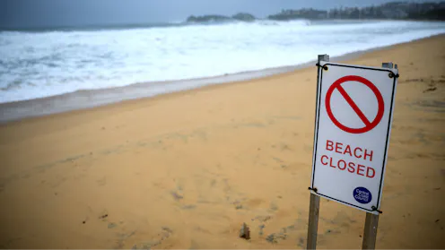
A second low forming off the NSW coast may have given anxious residents a reprieve by pulling energy away from the huge storm lashing the coast.
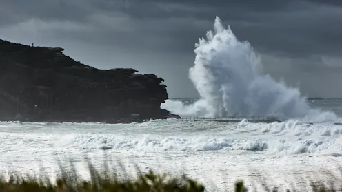
New South Wales residents face a rapidly intensifying major storm expected to bring intense winds, rains and high seas.
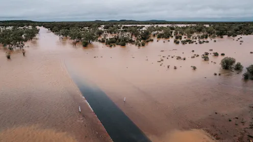
The worst flooding in 50 years has turned parts of western Queensland into an inland sea, stranding communities and livestock. It’s so vast, it’s set to completely fill Lake Eyre.
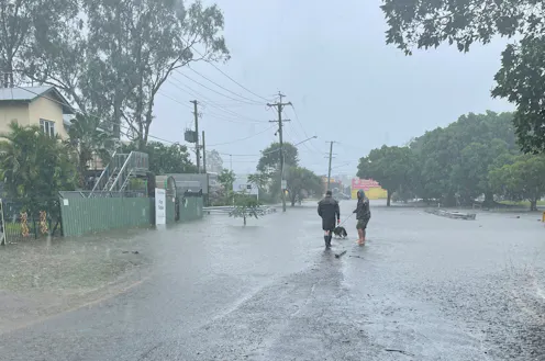
These storms are very slow moving and getting ready to dump a lot of rain.
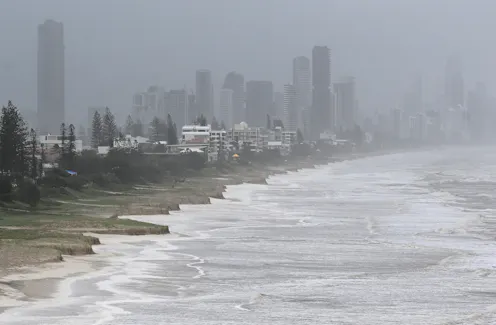
In short: the danger is not over. Residents in affected areas should remain cautious and heed official advice, to keep themselves safe.

The seas off southeast Queensland are unusually warm, which helped ex-Cyclone Alfred intensify as it barrelled towards the coast.
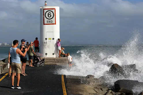
Heavily populated south-east Queensland is bracing for Cyclone Alfred to make landfall on Thursday.

Even if Zelia doesn’t hit towns directly, it’s likely to cause a lot of damage.
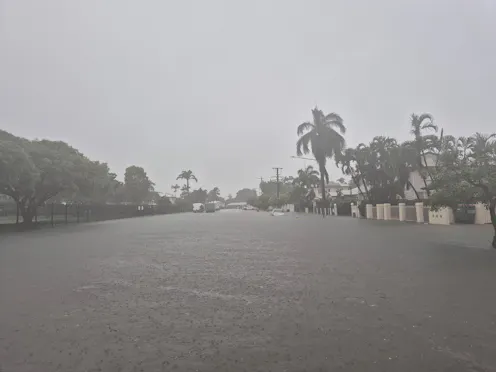
One woman has died, as floodwaters continue to rise from Townsville up to Cairns. An environmental geography expert explains what’s behind the floods – and what to watch in coming days.
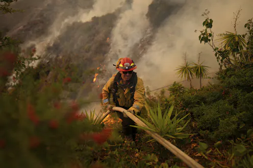
It’s vital to understand how climate drivers played out before and during the LA wildfire emergency – because many Australian cities face the same climate risks.
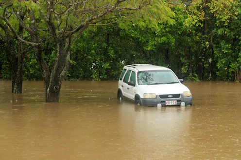
Once the immediate crisis in North Queensland has subsided, authorities will need to grapple with how to deal with the ‘new normal’ of extreme weather events. The big question is: are they prepared?
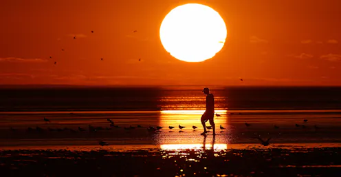
Over the past three years, Earth’s climate system has accumulated an average of 11 Hiroshima bombs’ worth of excess energy per second. And it’s showing in the current surge in ocean temperature.
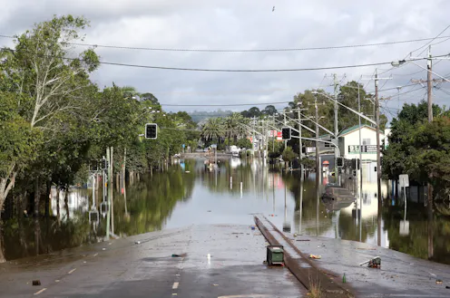
When bad weather stops moving, the outlook can get dire for the areas in its path.
Contact Steve for
- General
- Media request
- Speaking request
- Consulting / Advising
- Research collaboration
- Research supervision
- Location: Sunshine Coast, Australia
- Website
- Article Feed
- Joined
