
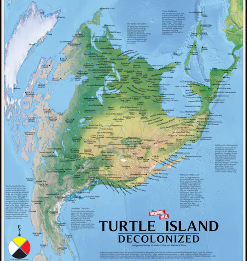
Qui décide de ce qui apparaît sur une carte ? En réintroduisant les informations omises et en croisant des données rarement associées, les contre-cartes offrent une lecture plus complète des territoires et ouvrent de nouvelles possibilités d’action collective.
- Professor of Urban Design and Architecture, Washington University in St. Louis
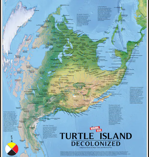
From who gets to vote to how people travel and where taxpayer dollars are funneled, politicians and urban planners wield maps to control public imagination.
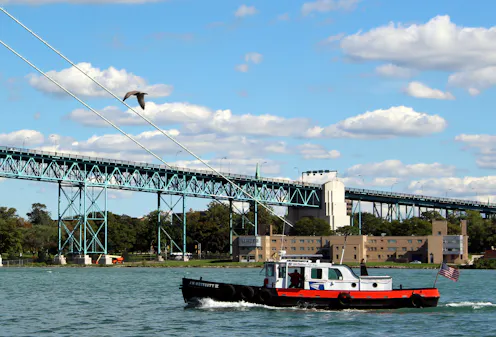
Can you find a FedEx store that mimics the design creativity and quality of early US post offices? What are we left with when the best parts of public life are treated like for-profit entities?
Contact Patty for
- General
- Media request
- Speaking request
- Consulting / Advising
- Research collaboration
- Location: St. Louis, Missouri, USA
- Website
- X (formerly Twitter): @pheydaSTL
- Article Feed
- Joined
