
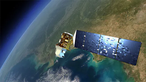
A new approach to monitor changes to the earth’s surface uses maps that consist of physical and human geographic data to explain what’s changed.
- Climate Change Scientist, Center for International Forestry Research – World Agroforestry (CIFOR-ICRAF)
Contact Michael for
- General
- Media request
- Speaking request
- Consulting / Advising
- Research collaboration
- Research supervision
- Article Feed
- ORCID
-
- Joined
