
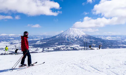
Like icy thermometers, glaciers overlying volcanoes shift according to temperature changes below.
- Professor of Geography and the Environment, School of Geosciences, University of Aberdeen
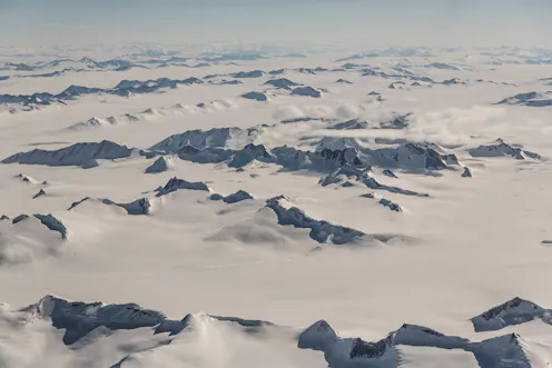
Scientists used satellites to map tens of thousands of glacial landforms in Antarctica’s highest mountains.
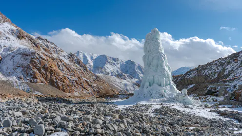
Constructed ice domes release water during dry periods when rain is blocked by high mountain ranges, stifling essential crop cultivation for rural communities.
Contact Matteo for
- General
- Media request
- Speaking request
- Consulting / Advising
- Research collaboration
- Research supervision
- Location: Aberdeen
- Website
- Article Feed
- ORCID
- Joined
