
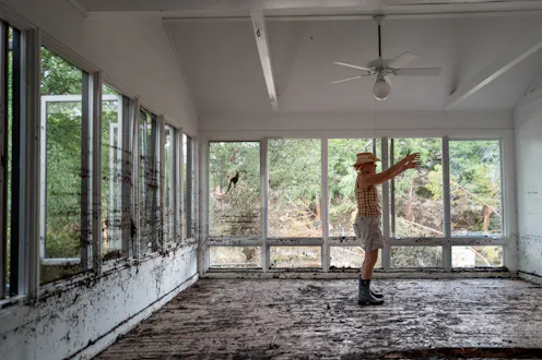
FEMA flood maps are essential tools for identifying flood risks, but they have significant coverage gaps, and politics can get in the way.
- Professor of Quantitative Methods in the Social Sciences, City University of New York
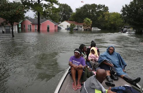
A street-by-street analysis shows where the risks are rising fastest and also lays bare the inequities of who has to endure America’s crippling flood problem.
Contact Jeremy for
- General
- Media request
- Speaking request
- Consulting / Advising
- Research collaboration
- Research supervision
- Location: New York, New York, U.S.
- Website
- Article Feed
- Joined
