
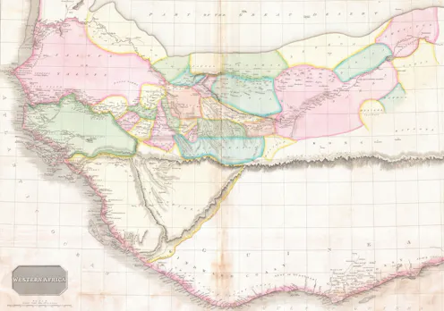
People have always put huge trust in the technology used to create maps, from the ancient Greek dioptra to modern satellites.
- Professor of Geographic Information and Cartography, Department of Geography, UCL
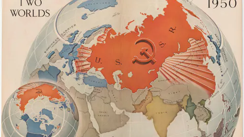
Donald Trump grew up in cold war America. Maps of the time had an overtly political purpose.
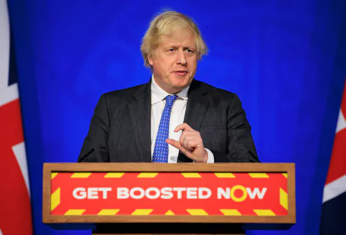
Communication is a two-way street.
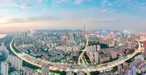
Mengukur ukuran sebuah kota – atau di mana satu berakhir dan yang berikutnya dimulai –semakin sulit untuk ditentukan. Abad ke-21 menjadi milik kota tanpa batas.
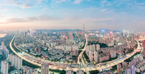
Quite how to gauge the size of a city – or where one ends and the next begins – is getting harder to determine. The 21st century belongs to the limitless city.
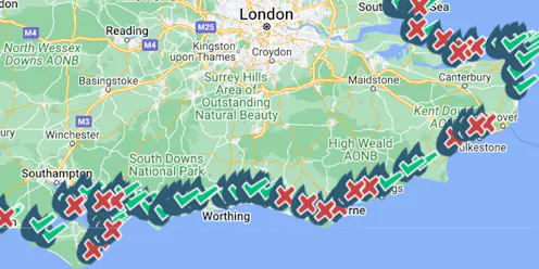
These maps have gone viral – here’s what they owe to 19th century cholera campaigns.

Women’s rights activists used maps to highlight which regions hadn’t given women the vote: we can use the same tactics to push climate action.
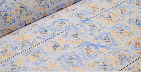
Visualising climate change data in accessible ways can help convince audiences from all backgrounds about the urgency of the climate crisis.
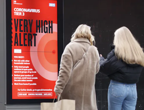
Counties, local authorities, councils – how you divvy up the map changes the game significantly.

Everyone would benefit from fewer slides, presented more slowly and with more detailed explanation of how the data has been processed.
Contact James for
- General
- Media request
- Speaking request
- Consulting / Advising
- Research collaboration
- Research supervision
- Location: London
- Website
- Article Feed
- ORCID
- Joined
