
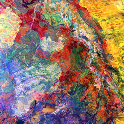
The United States Geological Survey has a vast collection of satellite images capturing breathtaking geological features of our planet. As a geologist, I’ve picked eight of the most fascinating.
- Research Affiliate, Monash University
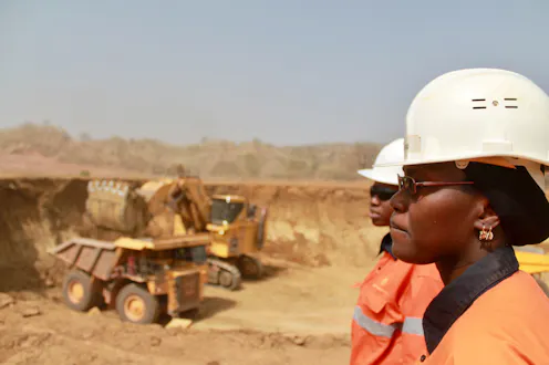
If mining workplaces are anything to go by, the clean energy sector will have their work cut out for them to retain women in the workforce.
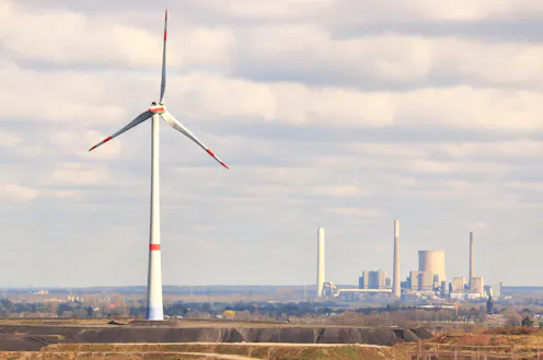
Quirks of our geology made Australia unusually abundant in coal. But as the world goes green, we can switch to vital clean mineral resources so coalminers aren’t left behind.
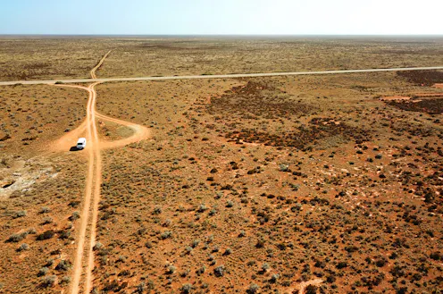
When borders reopen, take an Aussie road trip and explore the continent’s unique geology, from meteorites in the Nullarbor Plain to rock formations that are billions of years old.
Contact Emily for
- General
- Media request
- Speaking request
- Consulting / Advising
- Research collaboration
- Research supervision
- Location: Melbourne, Australia
- X (formerly Twitter): @DrEmilyFinch
- Article Feed
- Joined
