
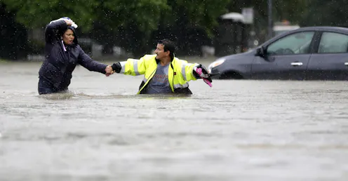
Computer models of the storm hitting different areas show how much damage is possible, yet flood maps still focus on where flooding is most likely instead.
- Professor of Anthropology, Rice University
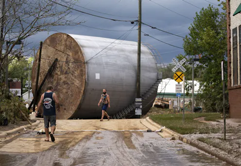
People living near these industries, as well as emergency responders, often have few details about the chemicals inside. New interactive maps pinpoint the risks.
Contact Dominic for
- General
- Media request
- Speaking request
- Consulting / Advising
- Research collaboration
- Research supervision
- Location: Houston, Texas, U.S.
- X (formerly Twitter): @dominicboyer
- Article Feed
- ORCID
- Joined
