
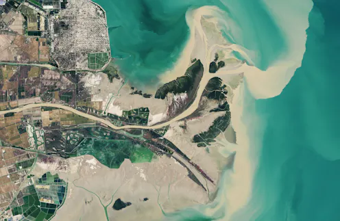
With decades of images and data from the same locations, these satellites can show changes over time, including deforestation, changes in waterways and how loss of trees corresponds to urban heat.
- Associate Professor of Geography, Indiana University
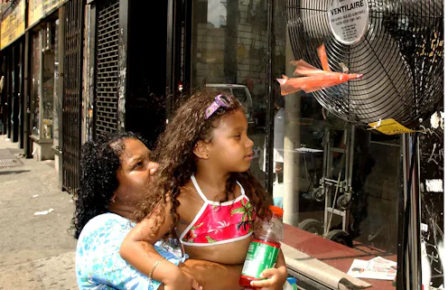
Extreme heat waves are putting lives in danger, with some of the hottest urban neighborhoods 10 degrees hotter or more than their wealthier neighbors. Often, these are communities of color.
Contact Daniel for
- General
- Media request
- Speaking request
- Consulting / Advising
- Research collaboration
- Research supervision
- Location: Indianapolis, Indiana, U.S.
- Website
- Article Feed
- ORCID
- Joined
